~1 hr 10 min
Worth the drive
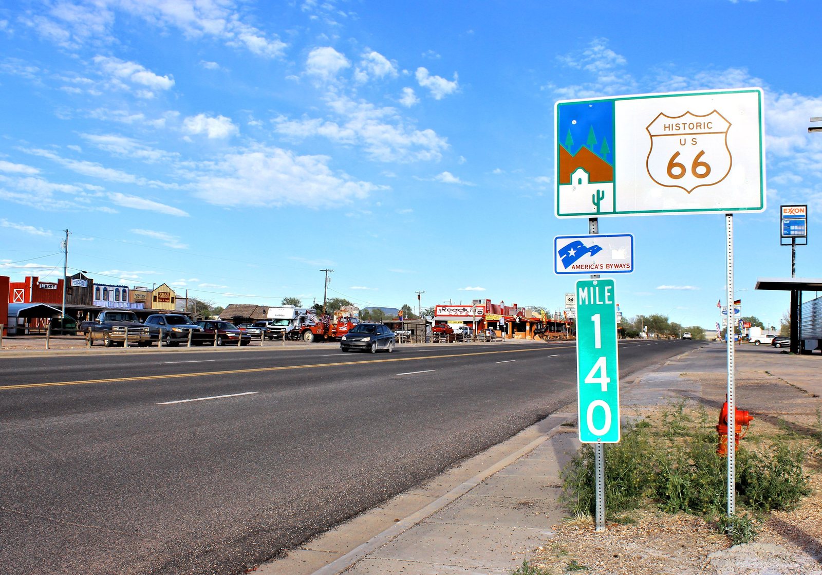
Seligman and Route 66
Groceries, hardware, fuel and propane.
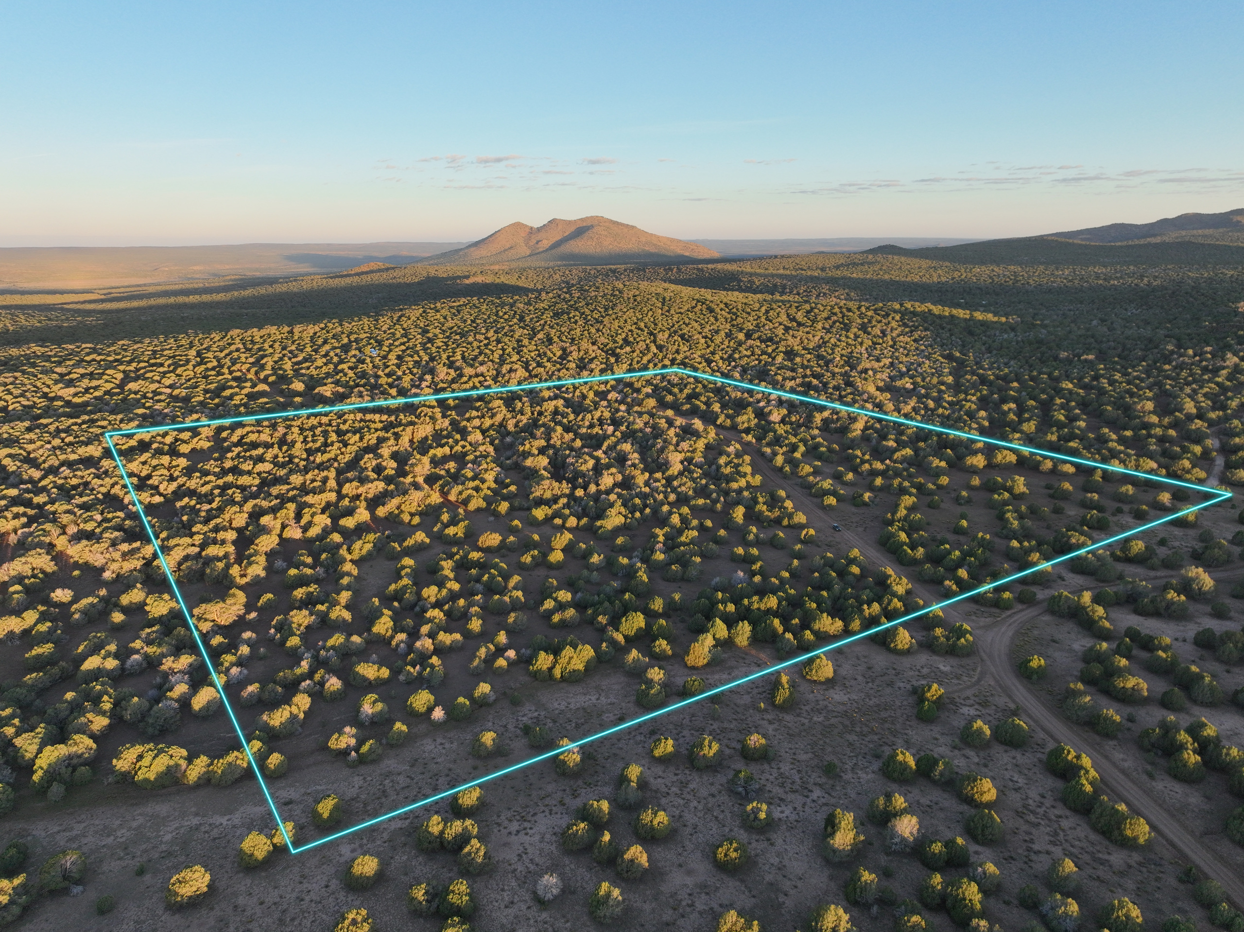
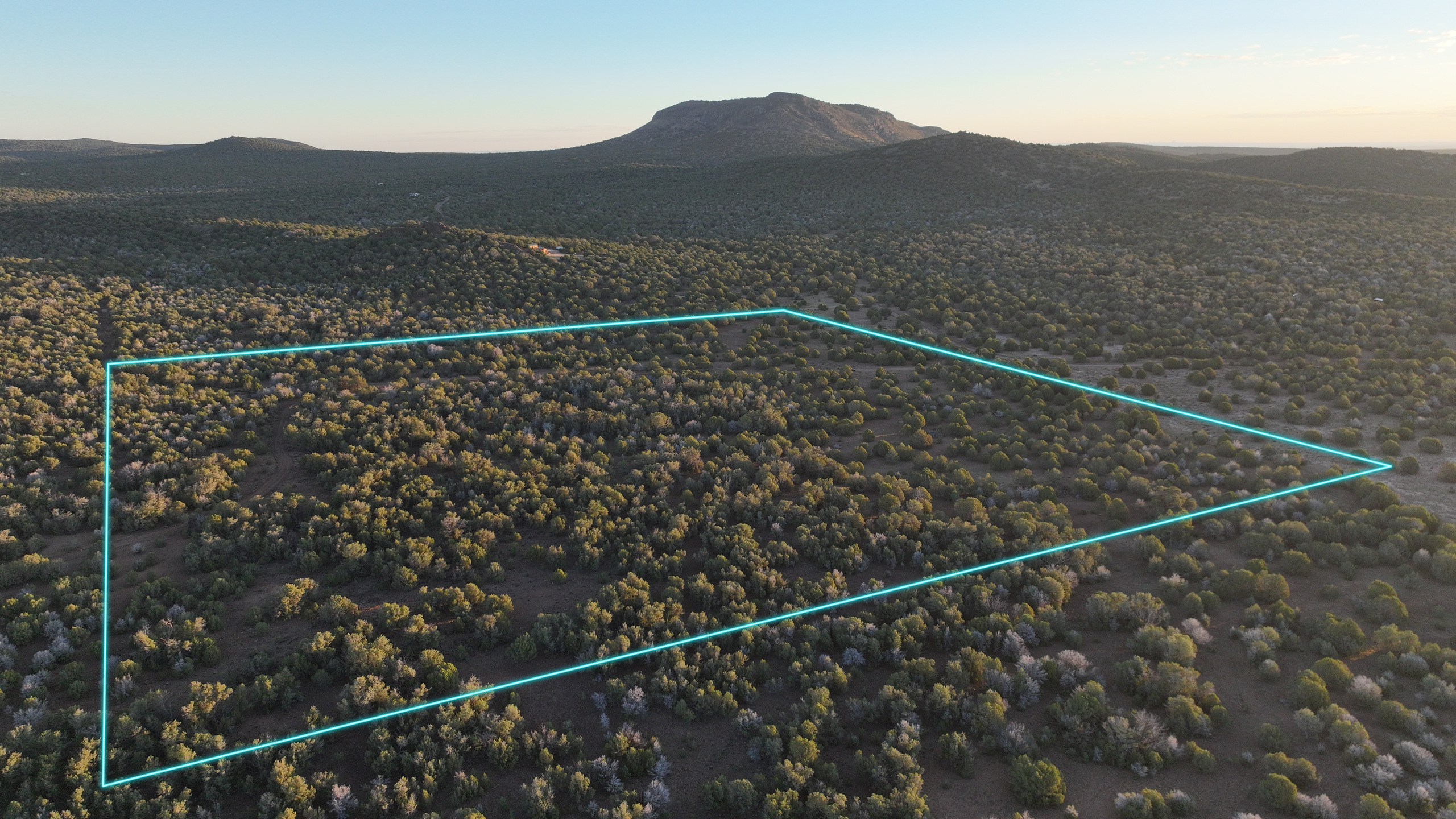
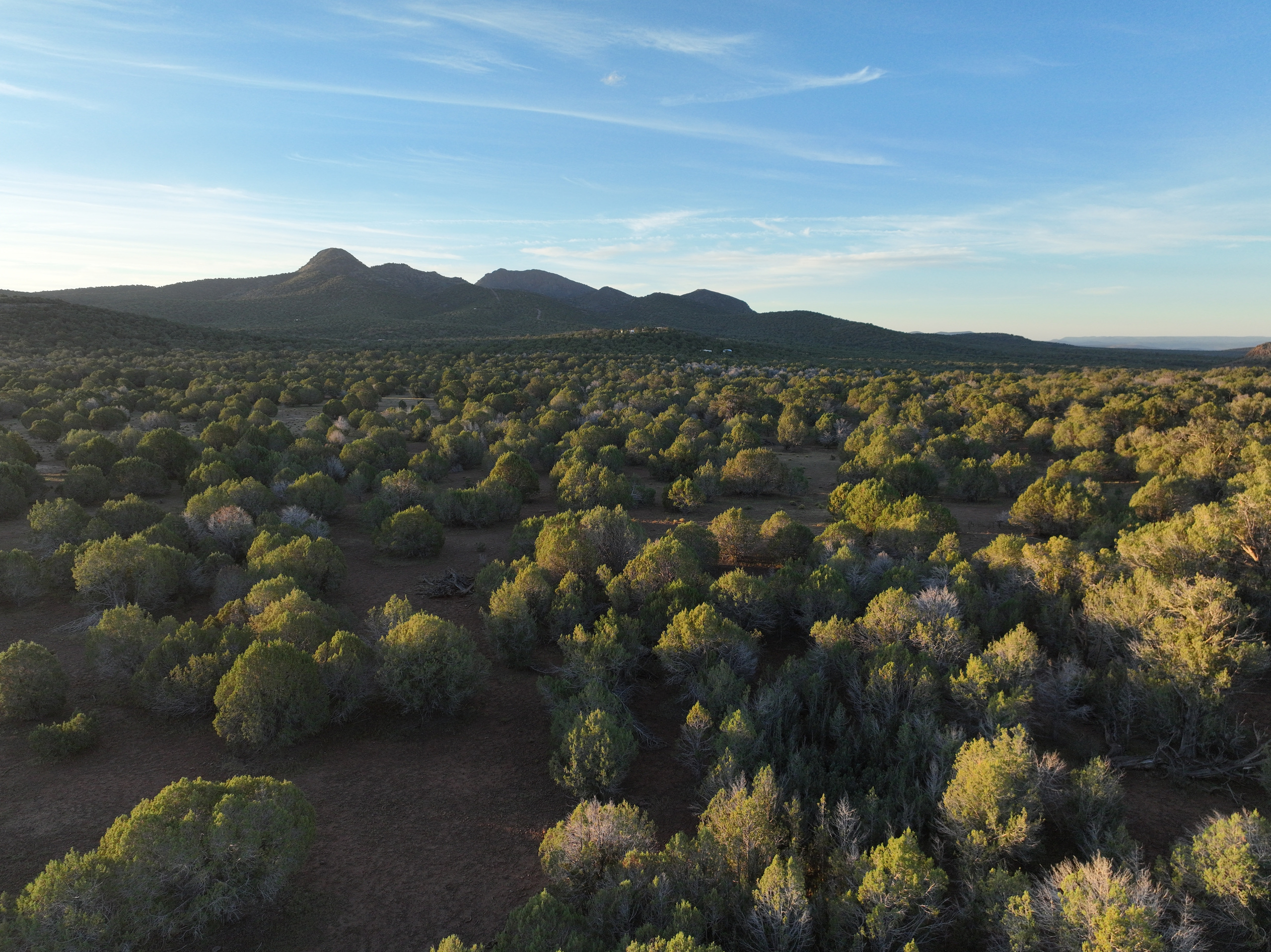
Wind in the pinyon. Red earth under your boots. Round Mountain stands to the north and Mount Floyd to the south, and at 6,200 feet, July nights cool into the fifties. Forty acres of woods and open glades, with room to find your own spot.
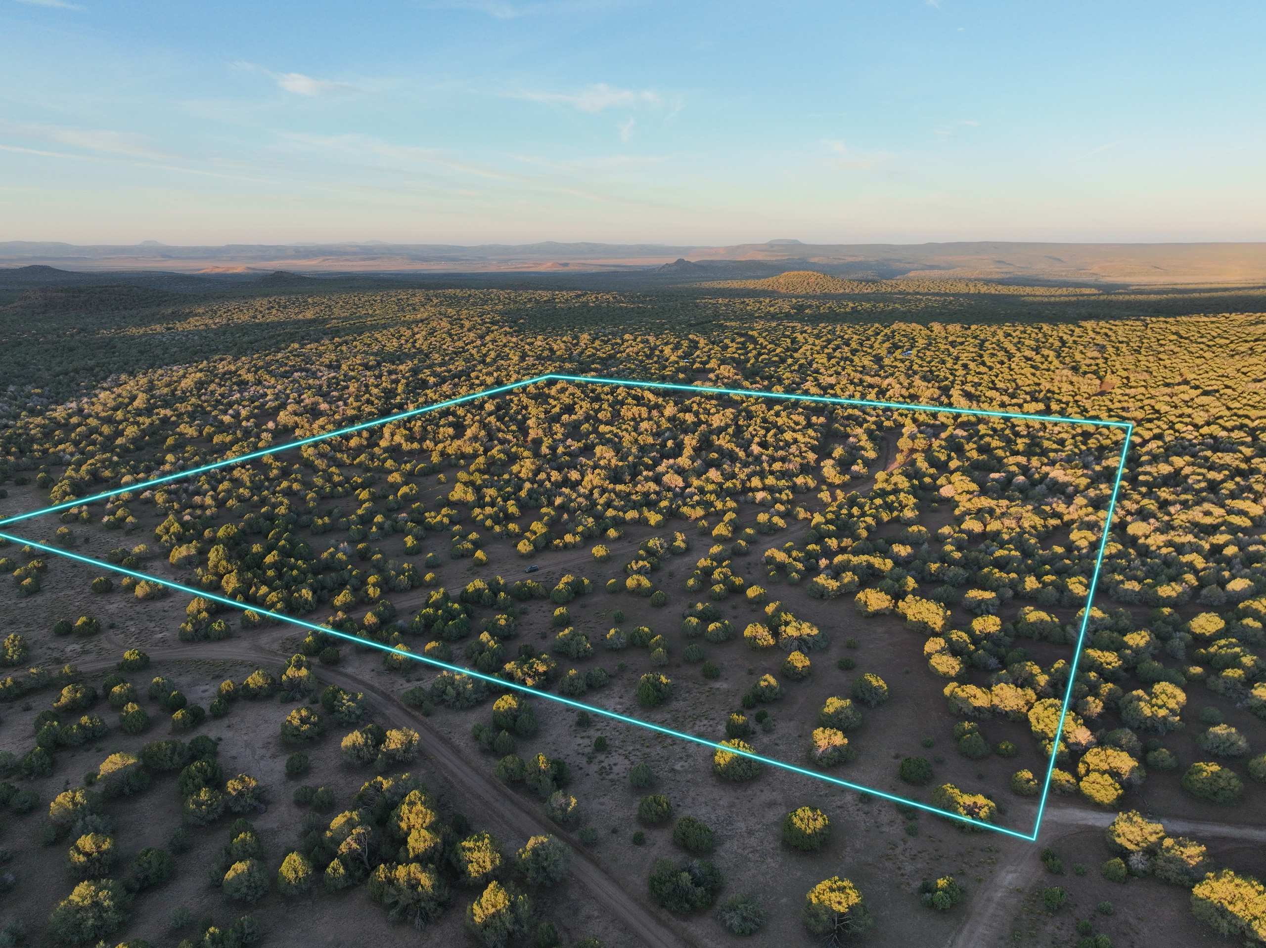
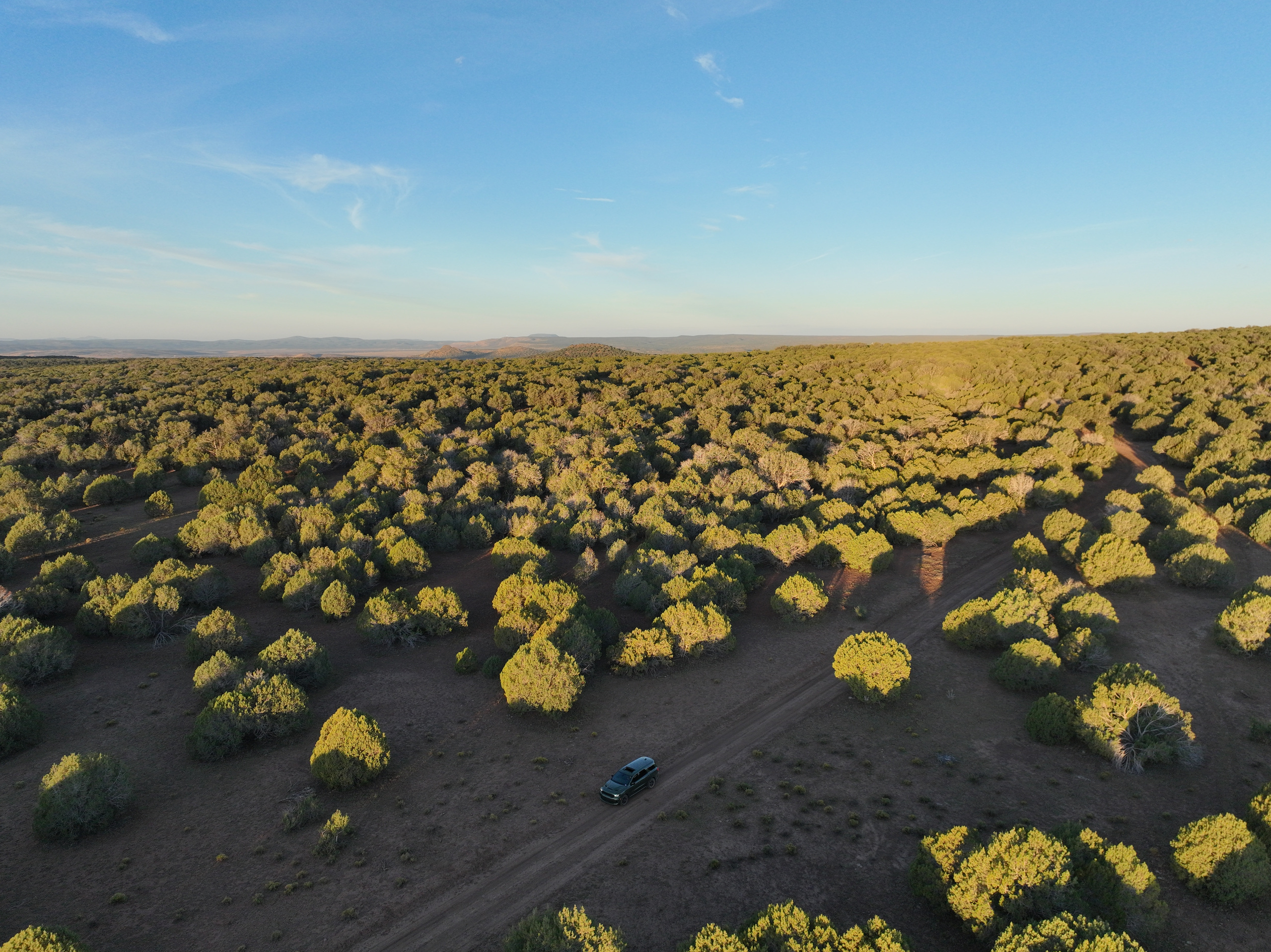
This is 40 acres in one clean square, a quarter mile on every side, and it's easy ground. Pinyon and juniper woods open onto red-earth glades, so you get privacy and room to work in the same walk. Our favorite spot for a cabin is a flat grove tucked behind the trees, and the public road already gets you there.
Build a cabin, put up a barn first, or bring the RV while you learn the place. Pay cash, or let us finance it.
Everything inside the line is yours: 40 acres of pinyon, juniper and open red-earth glades, with a public road winding through them. Round Mountain and Mount Floyd are the view beyond. Pick a number on the map, or open a photo full screen.Swipe through the photos, or tap one to see it full screen.
Approximate drives from the land.
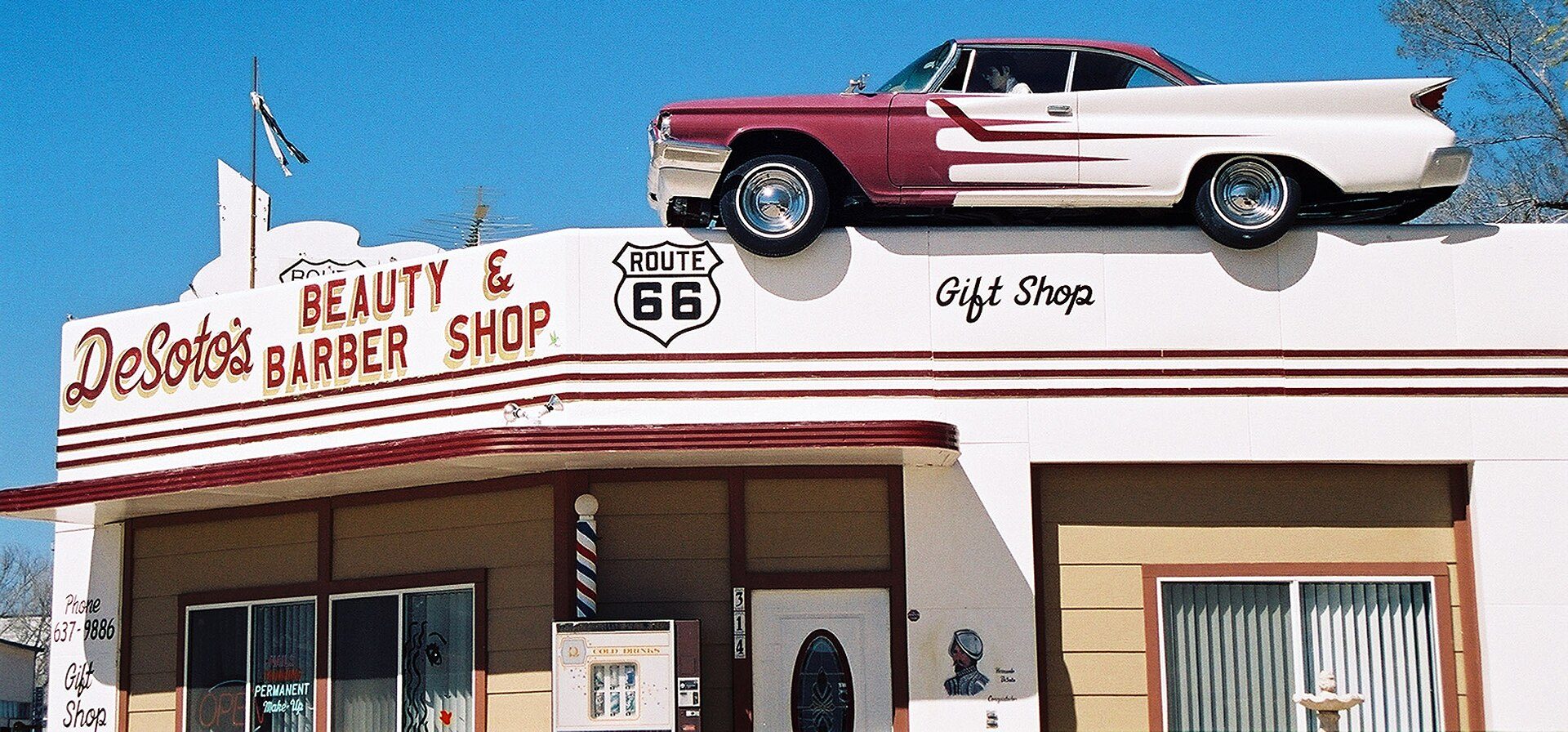
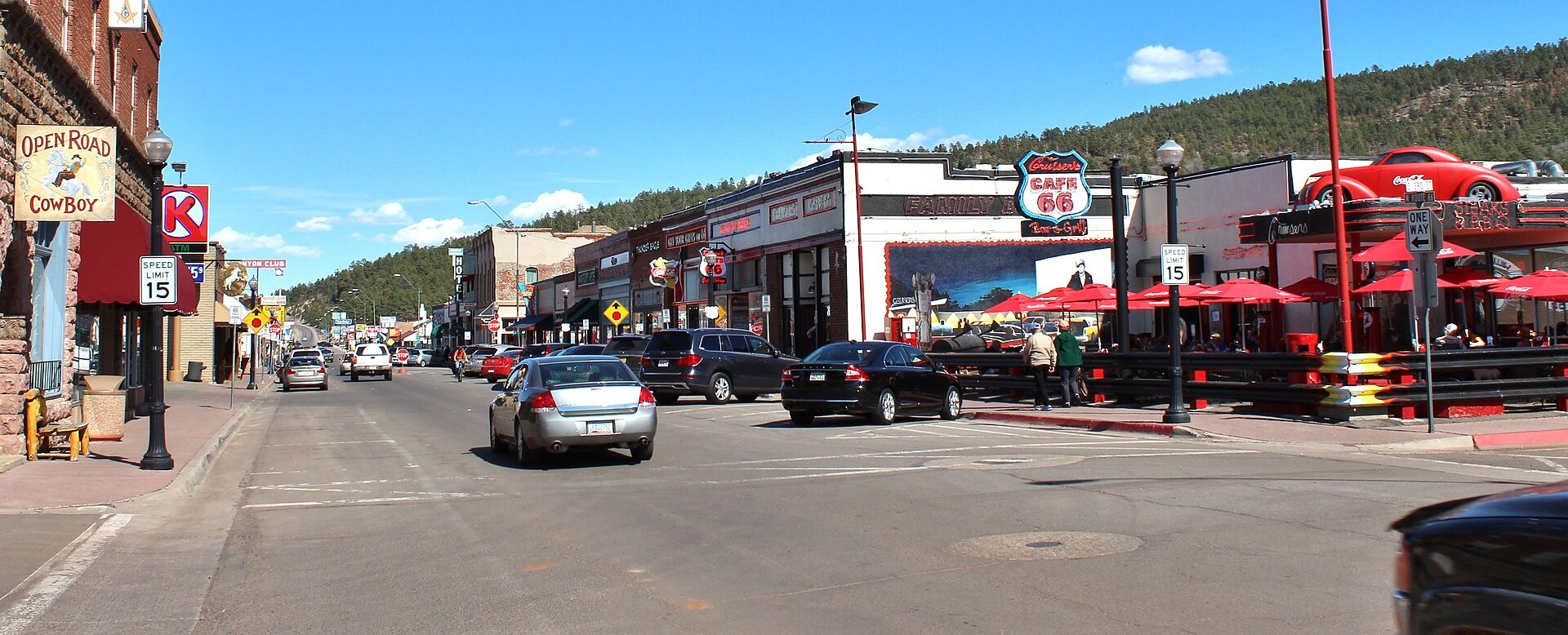
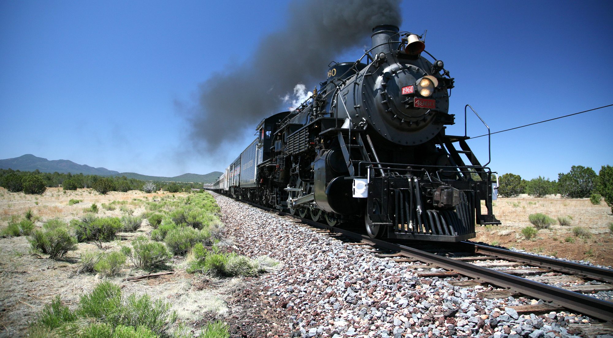
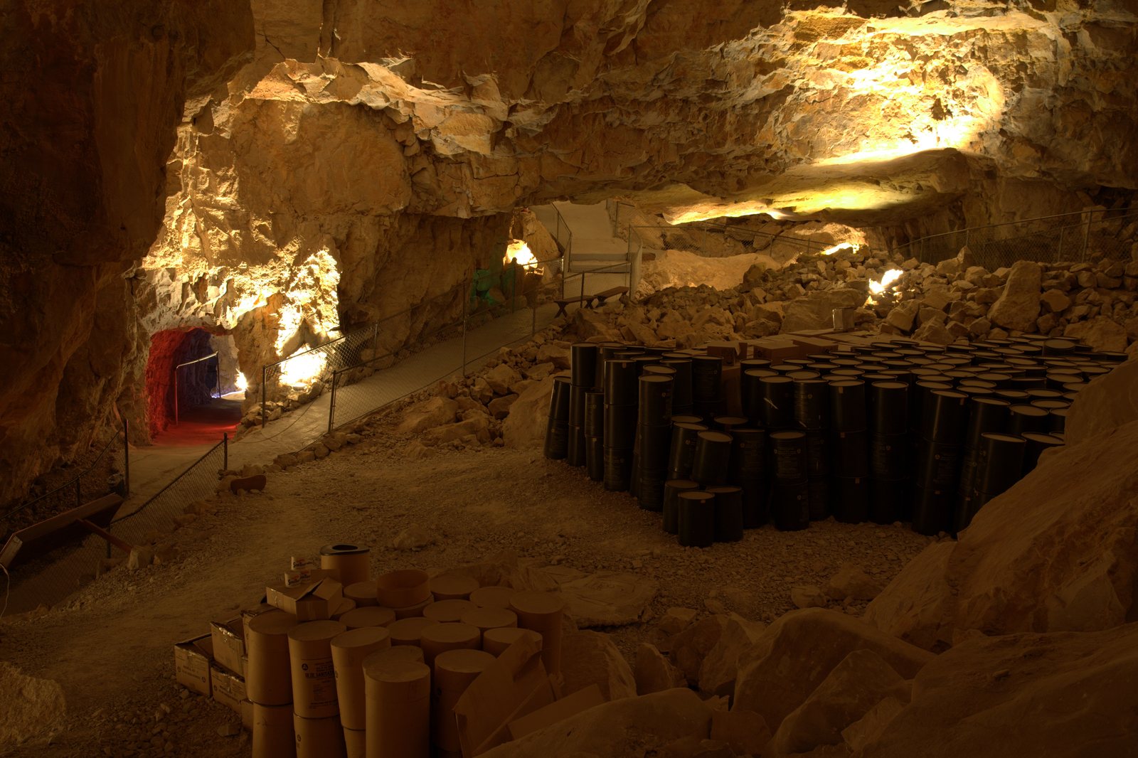
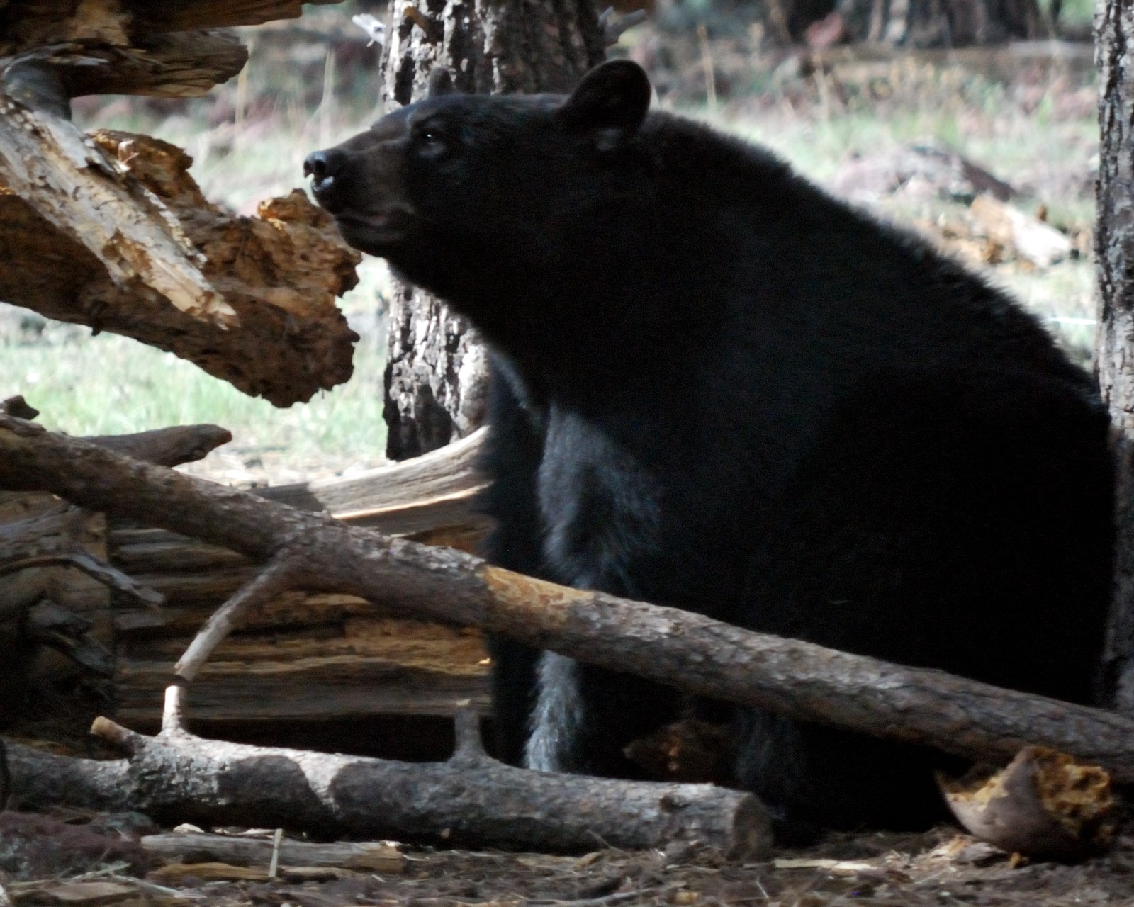
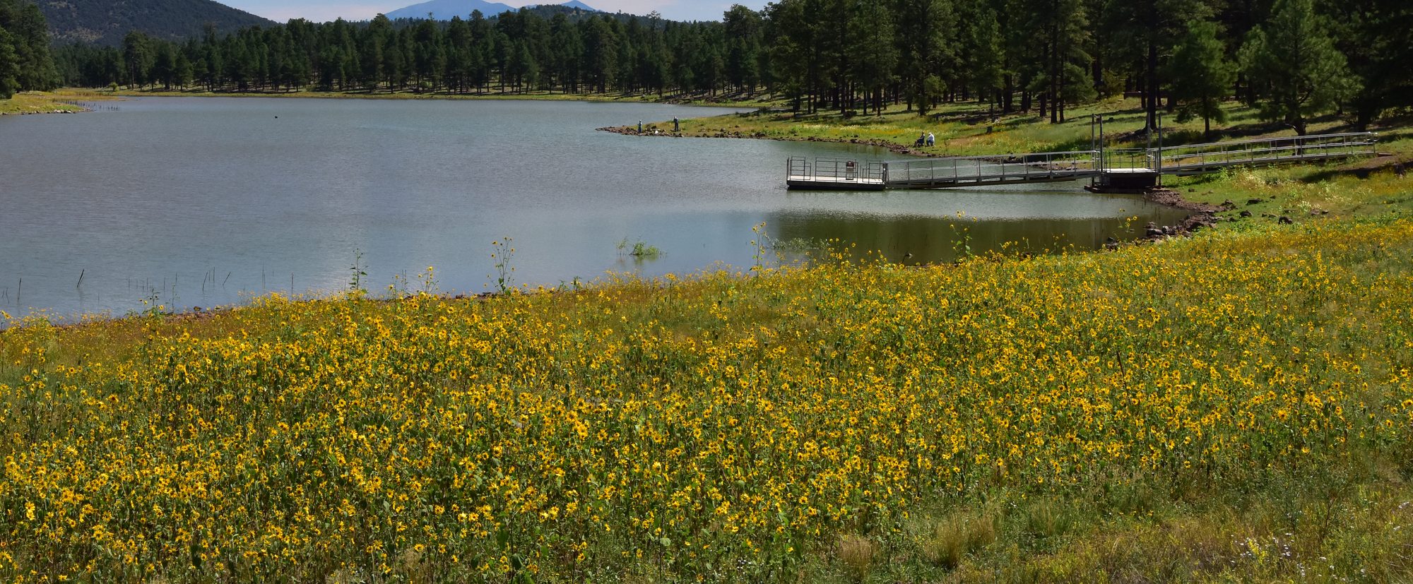
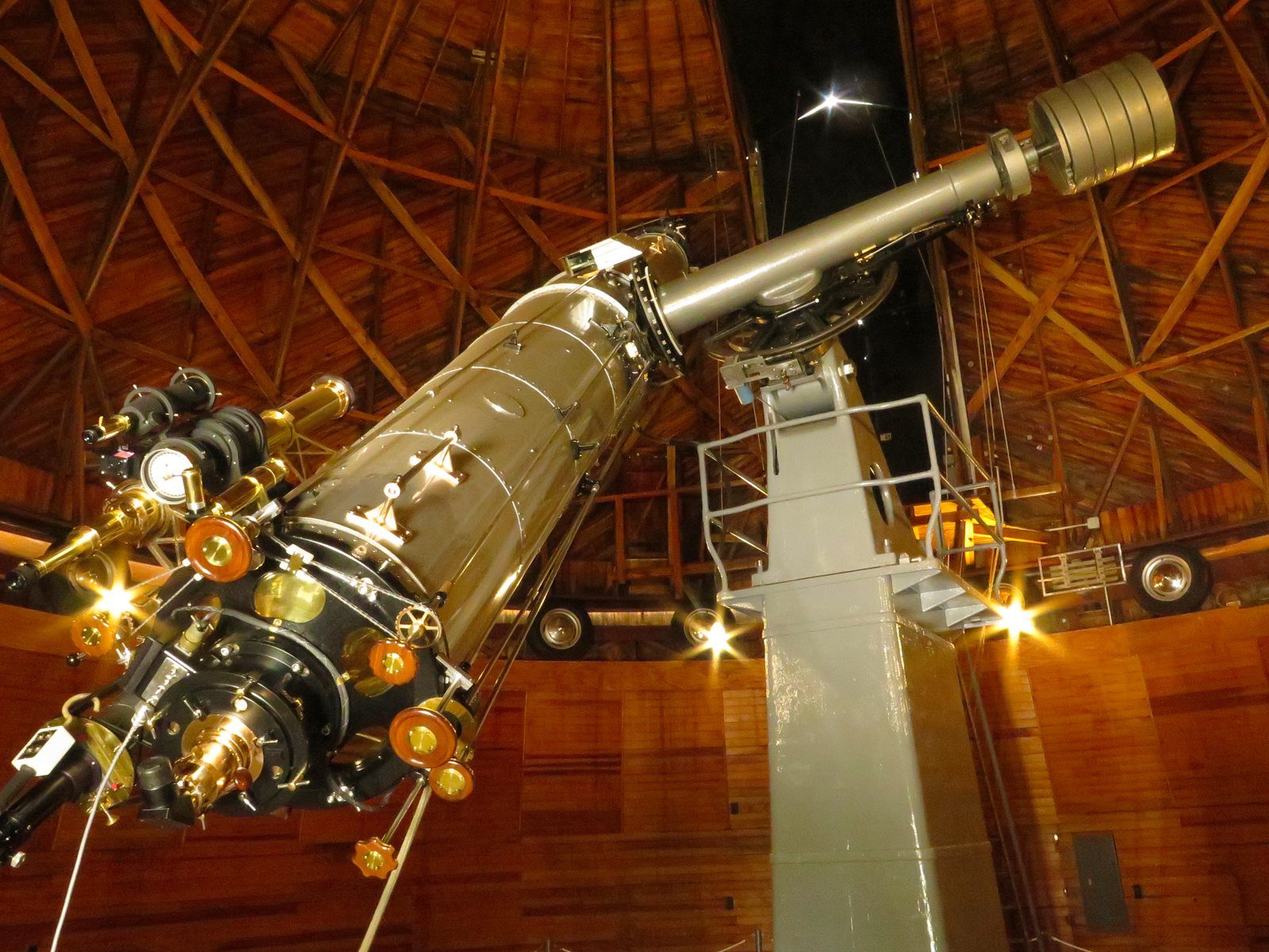
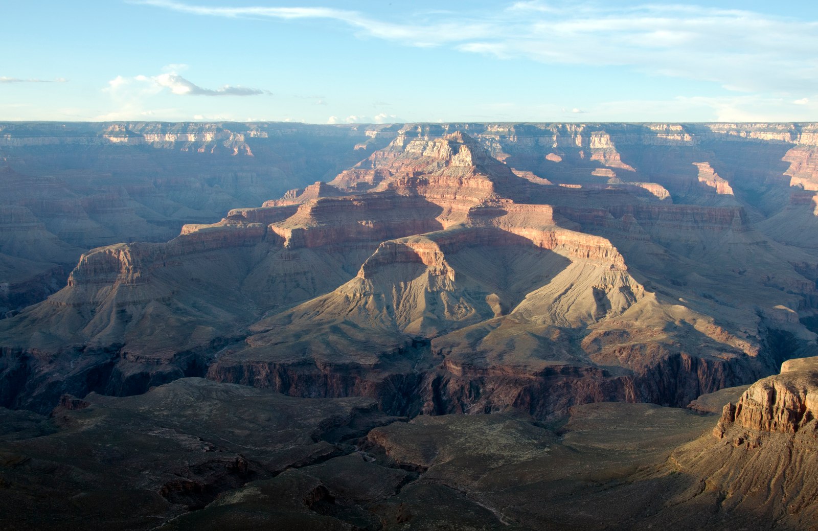
Seligman: “09 Seligman 2019” — Grenzlandstern, CC BY-SA 4.0. Ash Fork: “Historic Route 66 - DeSoto Barbershop” — U.S. Department of Transportation, via National Archives, Public domain. Williams: “Williams, AZ” — Scottb211, CC BY 2.0. Grand Canyon Railway: “Grand Canyon Railway 4960 June 2006” — Bill Morrow, CC BY 2.0. Grand Canyon Caverns: “Grand Canyon Caverns was designated a fallout shelter in 1961 (5026466458)” — Lauri Väin, CC BY 2.0. Bearizona: “American black bear at Bearizona Wildlife Park” — Christopher Amrich, CC BY-SA 2.0. Kaibab Lake: “Kaibab Lake (39937097214)” — Dyan Bone / U.S. Forest Service, Southwestern Region, Kaibab National Forest, CC BY-SA 2.0. Lowell Observatory: “Lowell Observatory NRIS-66000172-Clark Telescope2-Flagstaff Arizona” — Packbj, CC BY-SA 4.0. Grand Canyon: “Grand Canyon National Park: Sunset from Yaki Point 5207” — Michael Quinn / National Park Service, Public domain. Cropped or resized; card display may crop.
Coconino County's G General zoning. No mandatory HOA.
Build in the trees, start with the RV or bring your animals. Here's what that can look like.
No bank needed. Pick how much you'd like to put down and how long you'd like to take. Shorter plans cost you less overall.
Next, you'll choose your down payment and how long to pay.
From I-40 Exit 139, follow Route 66 about 10 paved miles toward Seligman, then about 15 miles of dirt. Allow an hour on the dirt, more on a first visit. Ranch Rd runs wide most of the trip. It's maintained by the Westwood Ranches road association and co-op. Bring an SUV or truck, come in daylight, and wait for the roads to dry after rain or snow. For this area, it's one of the better ways in, and much of the land out here is harder to reach.
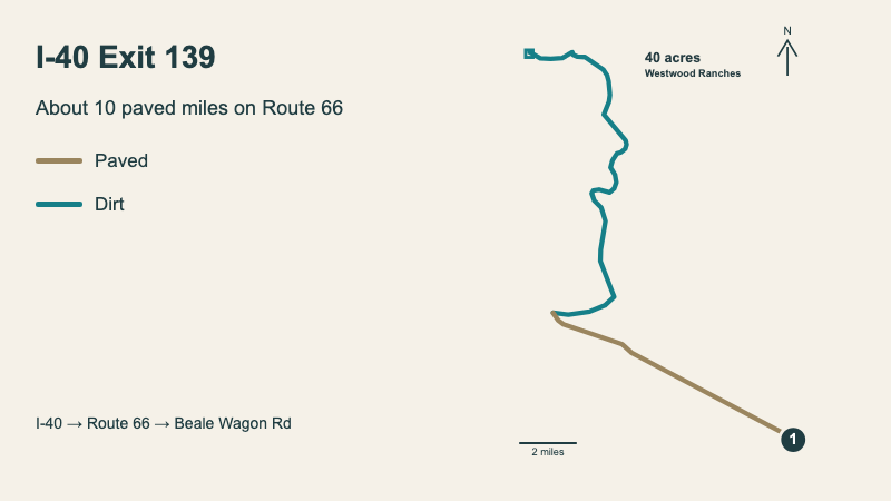
Follow Route 66 about 10 paved miles toward Seligman.
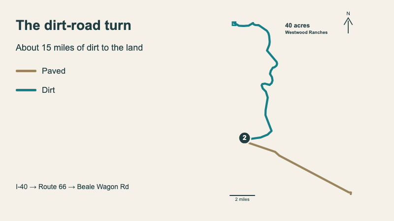
Then about 15 miles of dirt. Allow an hour on the dirt, more on a first visit. For the easiest trip, stay on Ranch Rd until you reach Coal Slurry. Google will auto-route you off of it at one point to a one-lane road, so stay on Ranch.
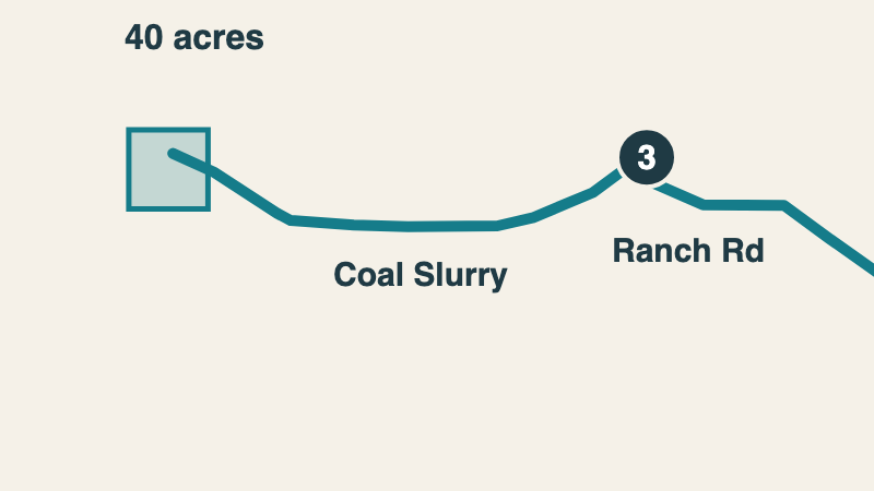
At Coal Slurry, turn left and go about a mile and a half. Then bear left onto Beale Wagon Rd.
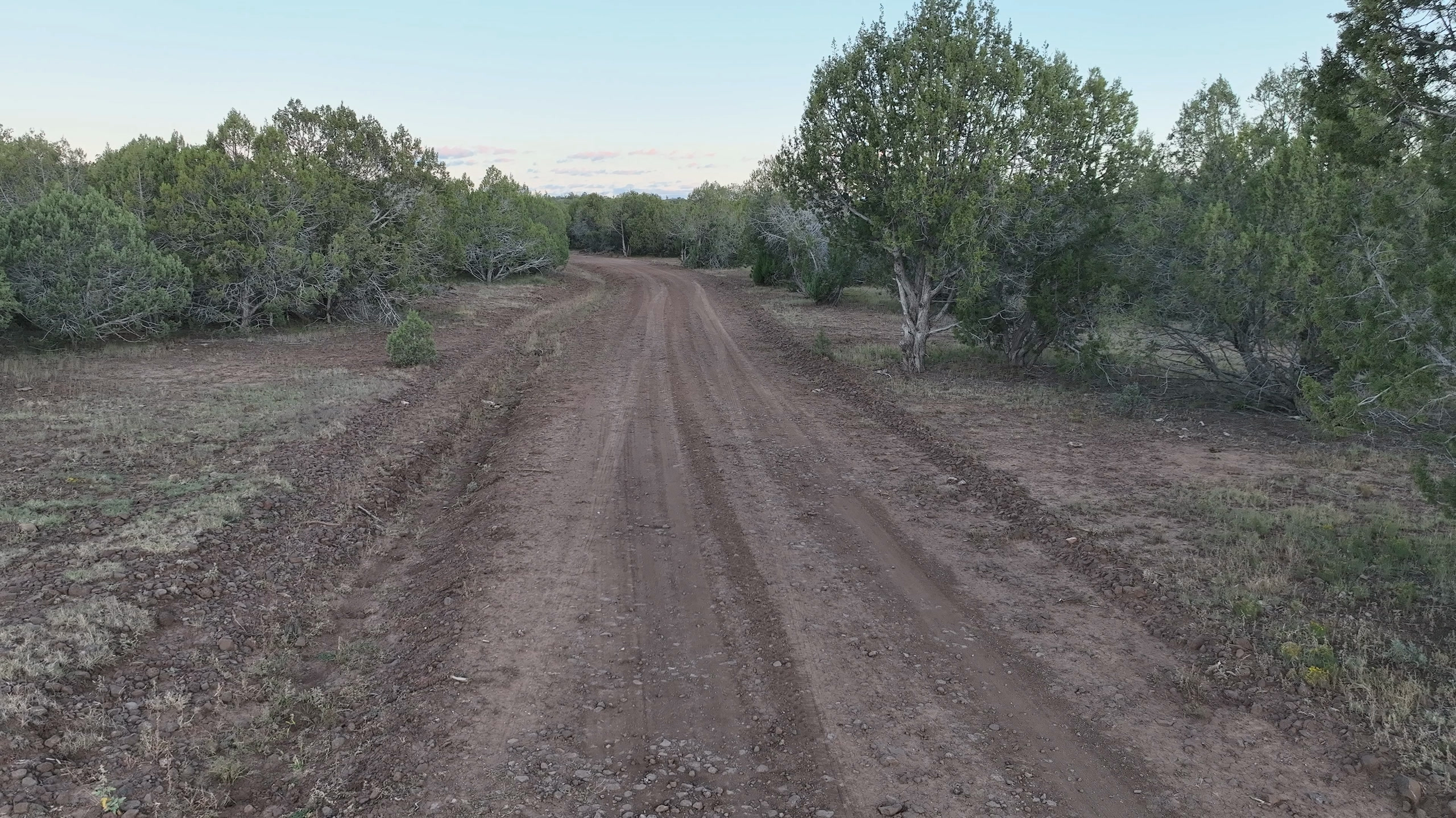
You're on your land. Step out, listen to the quiet and go find your spot.
Plan on solar, stored water and a septic system, the way folks along Beale Wagon Rd already live.
There's no power line at the land. Each kW of panels can produce about 1,820 kWh a year, or about 9,100 kWh from a 5 kW array, before battery losses. Give the panels a sunny spot clear of the trees.
Plan on a cistern. Ash Fork's fill station charges about $11 per 1,000 gallons. With about 19 inches of rain and snow a year, a 1,000 sq ft roof could collect around 9,500 gallons, assuming 80% collection.
Coverage maps show LTE from all three major carriers, plus 5G from Verizon and T-Mobile.
Summer rains run from July into September. Winter brings freezing nights and snow.
Our favorite spot is the flat grove just north of the road, in the northeast part of the land. The trees screen it from the road. The southeast glades and the west bench are worth a look too.
Yes, with a permit and approved wastewater disposal. Coconino County allows one RV as a full-time home through an administrative permit, or up to 120 straight days a year on a temporary one while there's no house on the land. With an active home-building permit, you can apply for a six-month RV permit and renew it while the building permit stays active.
Yes. Manufactured, modular, site-built and tiny homes on a foundation are all allowed with county permits. Prefer small? The county also has an alternative-building permit for an owner-occupied, one-story home up to 600 sq ft.
Yes, on a recorded road and utility easement. The land on both sides of it is yours.
No mandatory HOA. The road co-op is voluntary.
$339 for all of 2026. That's about $28 a month.
Solar. Each kW of panels can produce about 1,820 kWh a year, before battery losses.
A cistern, filled from Ash Fork's station at about $11 per 1,000 gallons, plus what you catch off a roof. The town has water-hauling businesses too.
A county site investigation costs about $635. You arrange the test holes and the design, and the county reviews and inspects the work. Plan on a designed system.
Possibly, into as many as three parcels. The county's minimum is 10 net acres, and this land nets about 34 after the road and boundary easements. You'd need a survey and county approval.
Four real seasons. Summer days run in the high 80s to low 90s with cool nights, summer rains run from July into September, and winter brings freezing nights and snow.
In Westwood Ranches, northeast of Seligman, about 10 paved miles and about 15 miles of dirt road from I-40 Exit 139. From the land, Seligman is about an hour and ten minutes, Williams about an hour and 35 minutes, Flagstaff a little over two hours and Phoenix about four hours.
Yes, and you should. Let David know you're interested and come experience your new land firsthand.
Pay cash, or let us finance it. David answers every call and text about this land.