~46 min
Within an hour
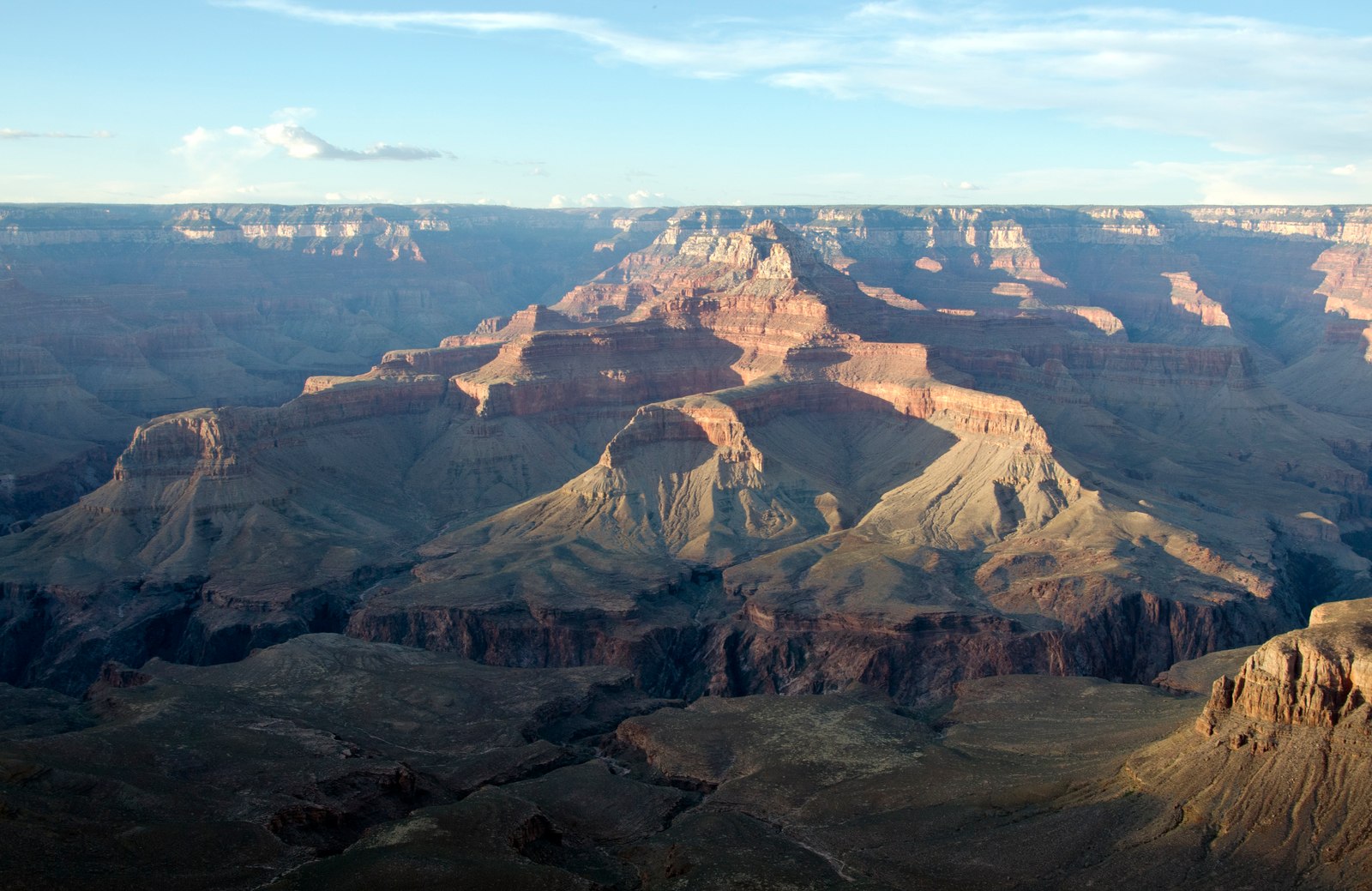
Grand Canyon South Rim
Make a South Rim sunset an easy evening outing.
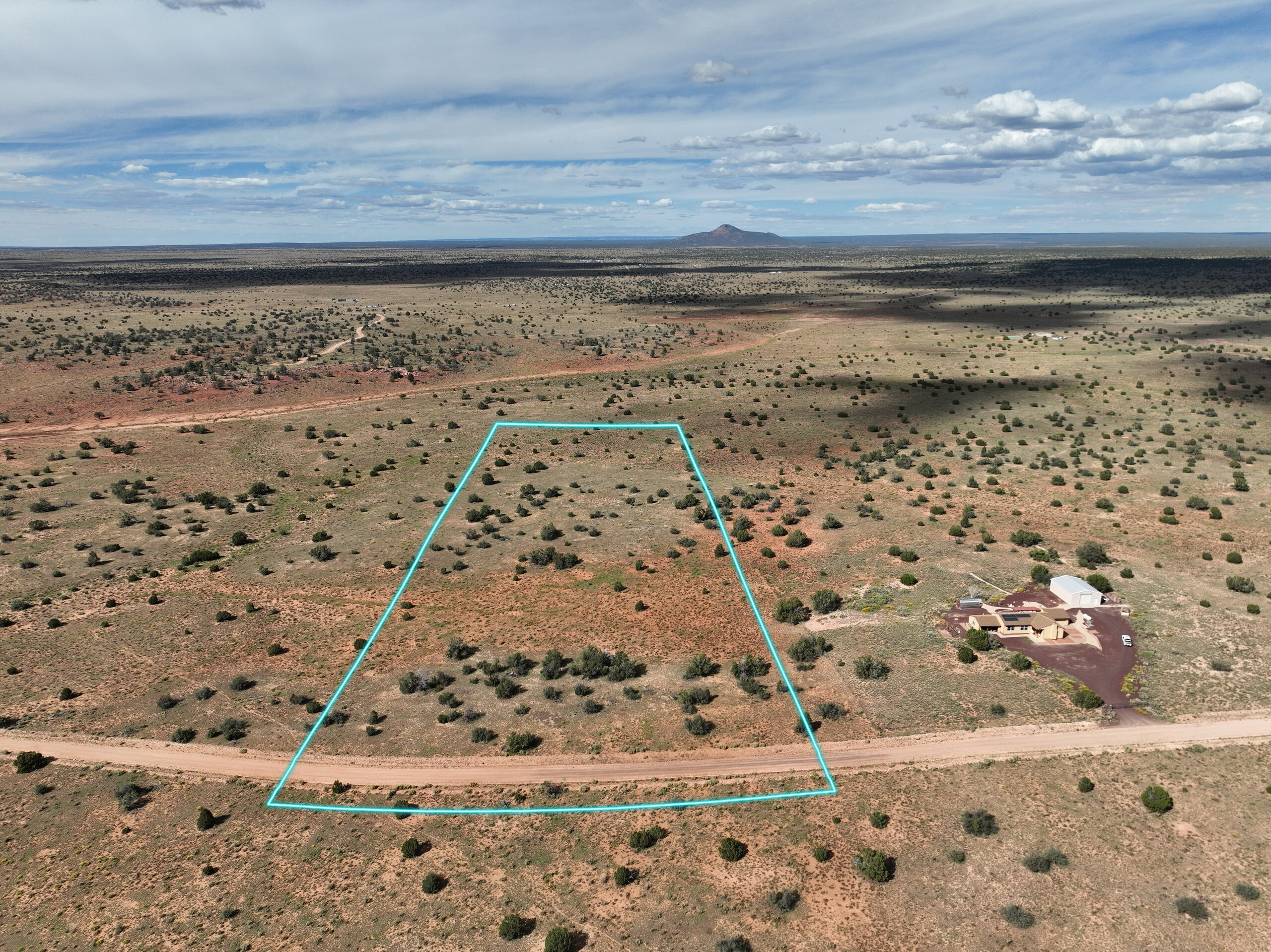
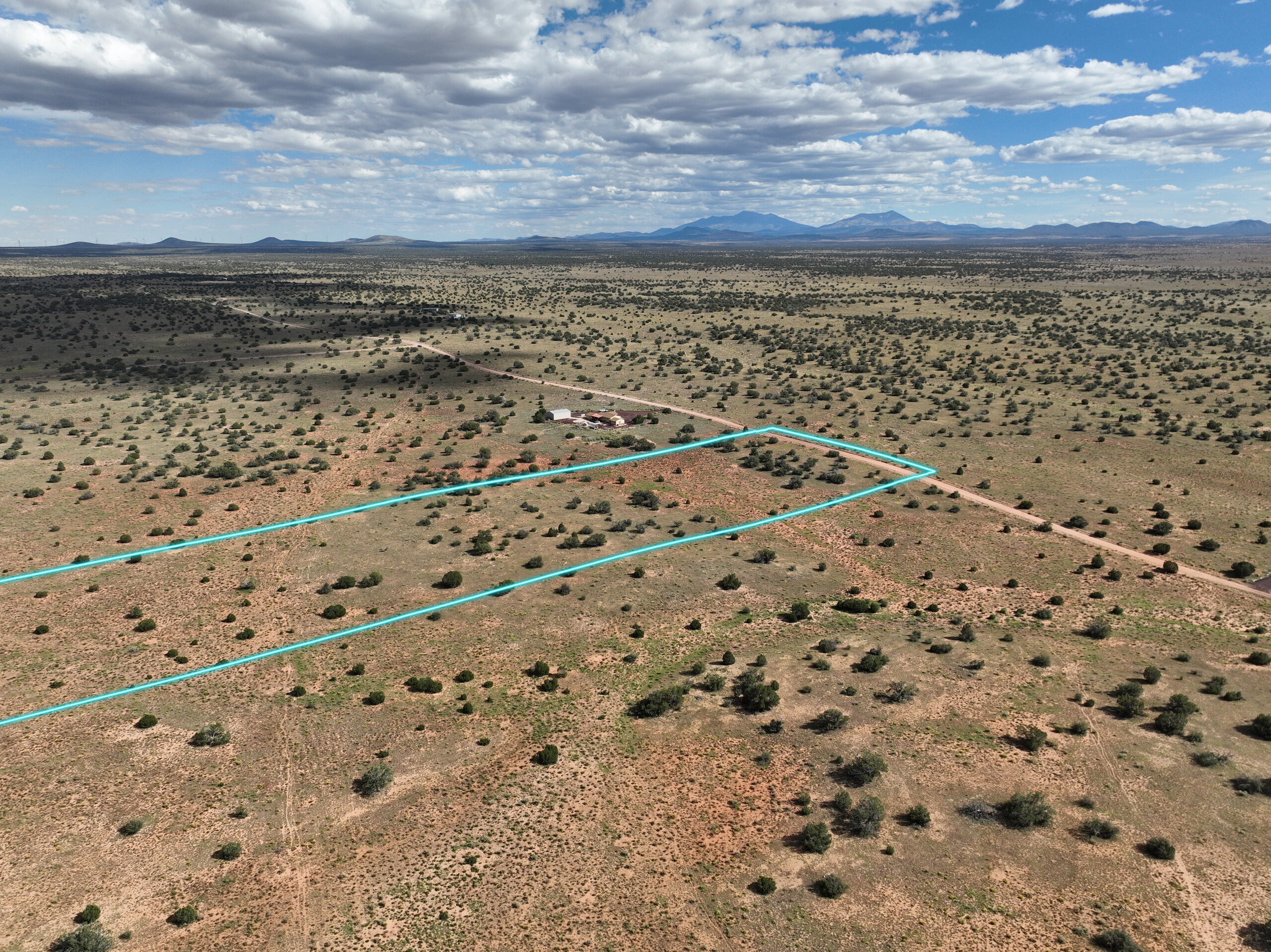
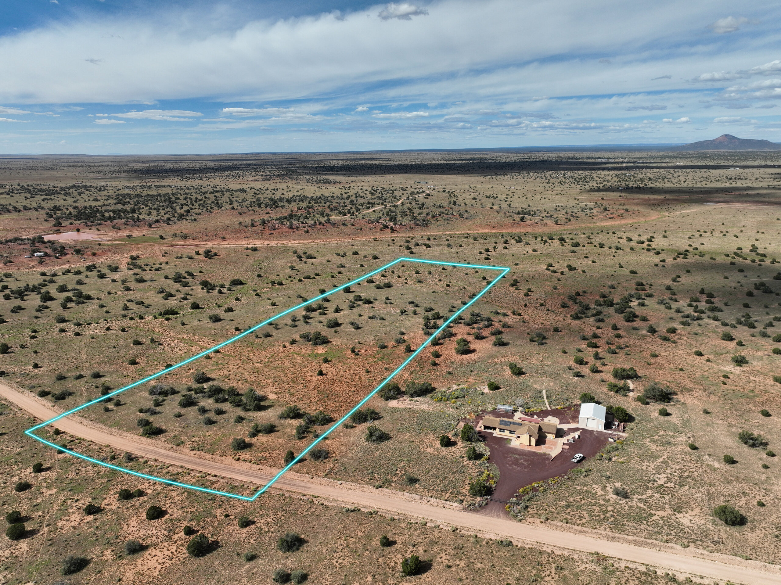
This land is for the ones who keep coming back.
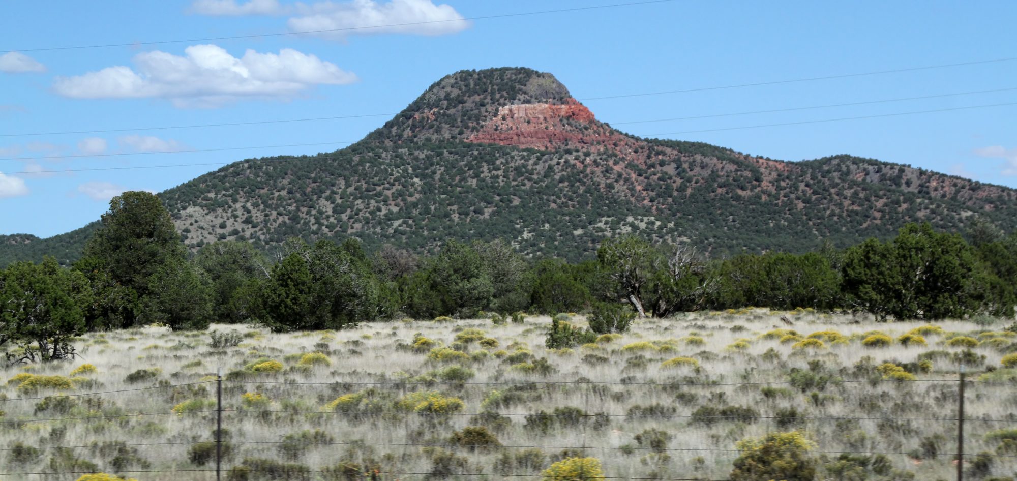
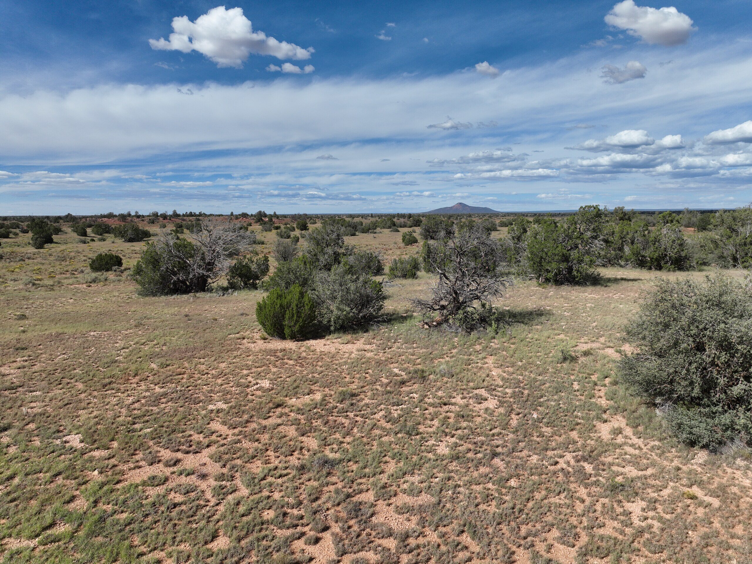
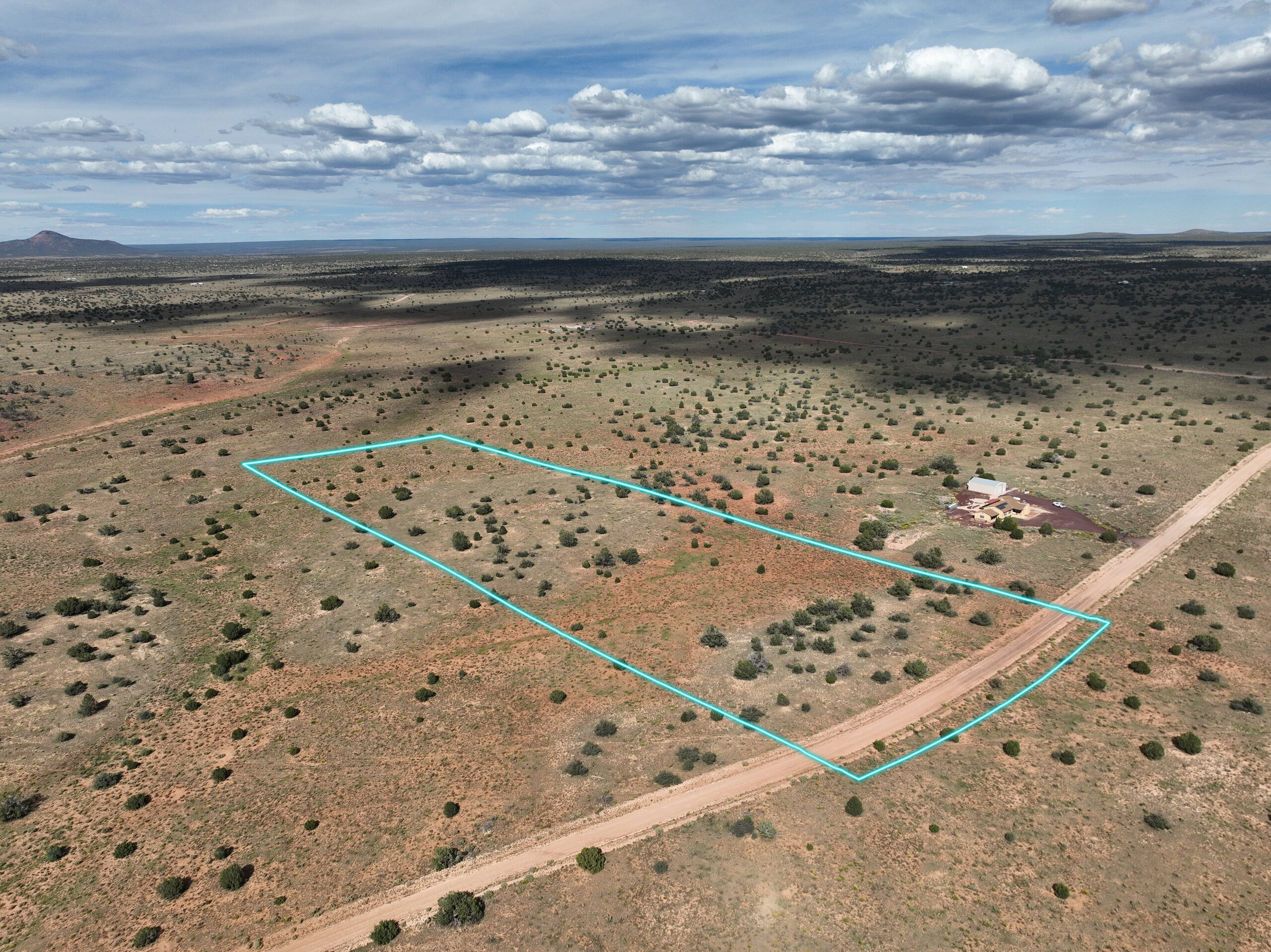
It sits two miles off the highway to the South Rim: high desert grass and juniper at 6,000 feet, with Red Butte standing alone on the northern skyline. Walk to the middle of the land and the San Francisco Peaks rise far off to the southeast. July days run about 19 degrees cooler than Phoenix. After dark, the sky takes over.
Pull in, walk it, and picture it. Your own twelve acres, a short drive from one of the great places on earth, for less than $30 a month to keep.
Everything inside the cyan line is yours. Every view is pinned to the map, so you always know where you're looking. Pick a number on the map to see the land from that spot.Swipe through them, or tap one to see it full screen.
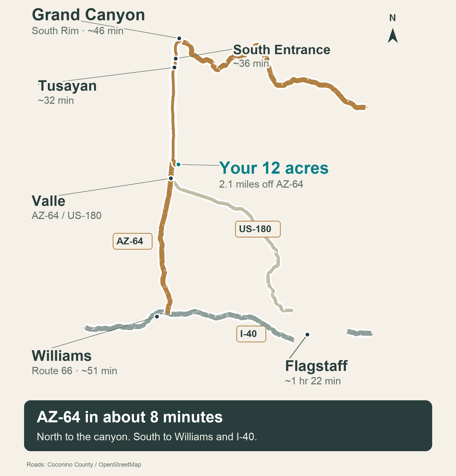
AZ-64 is the highway from Williams to the Grand Canyon, and this land sits just 2.1 miles off it. That puts a South Rim sunset within an easy evening's drive.
The canyon, pine forest, lakes and old Route 66, all inside a day's drive. Tap a place to see more.
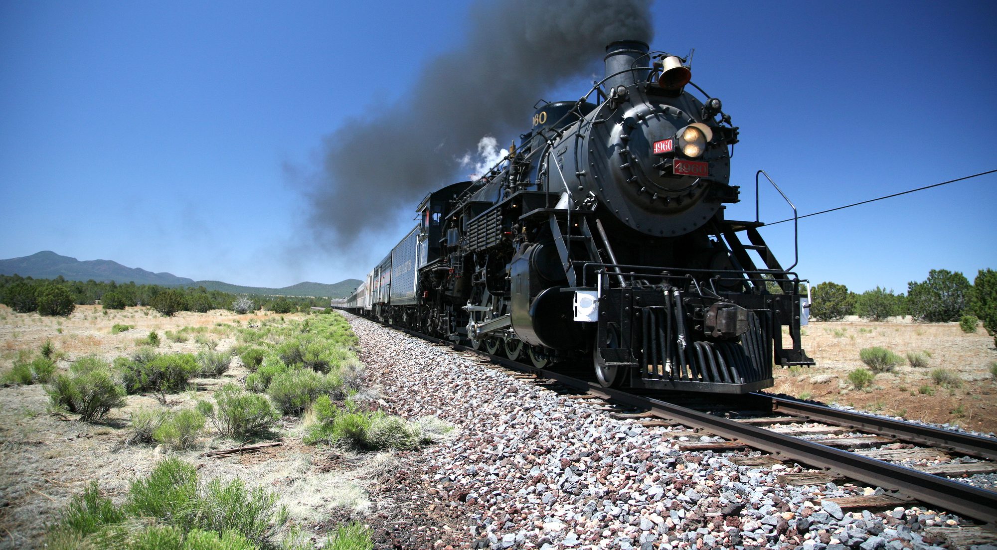
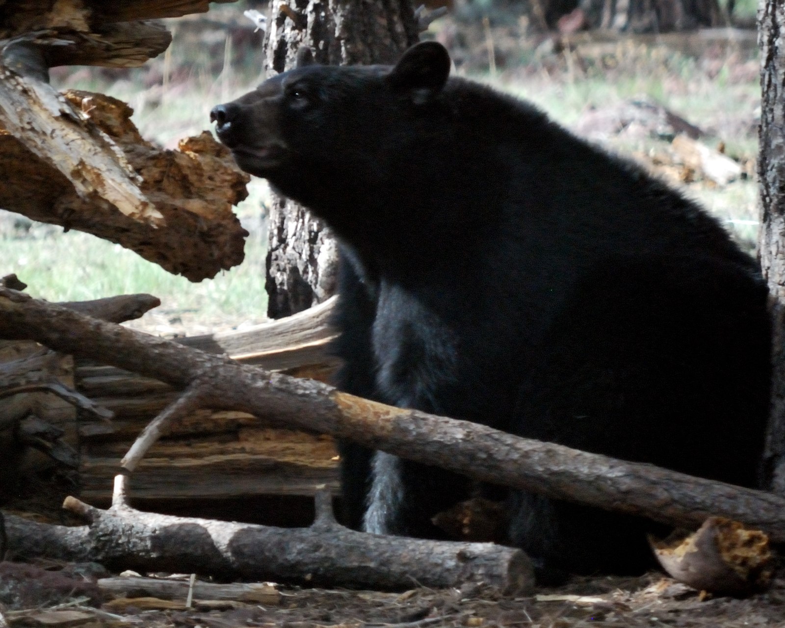
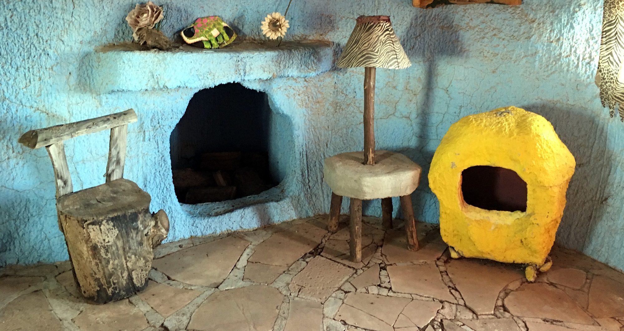
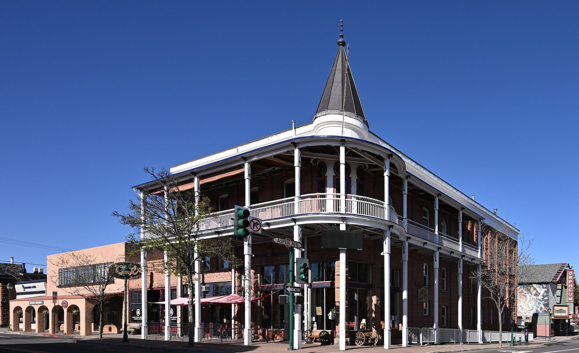
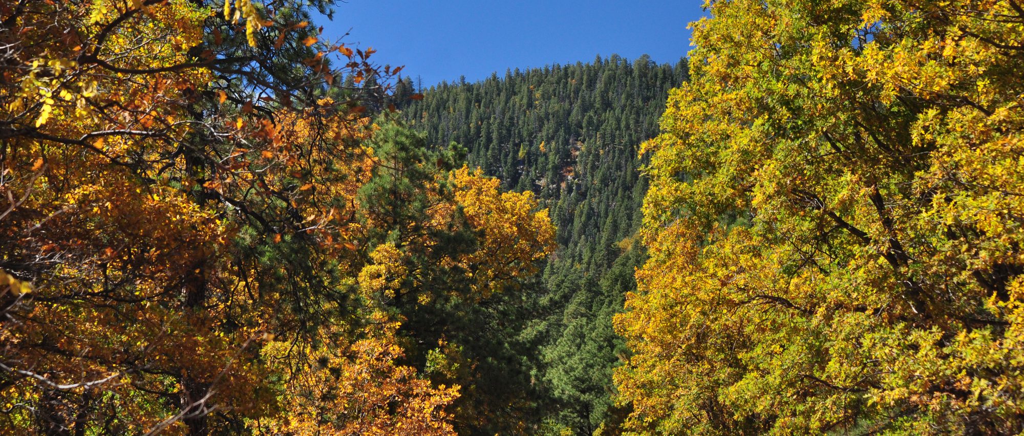
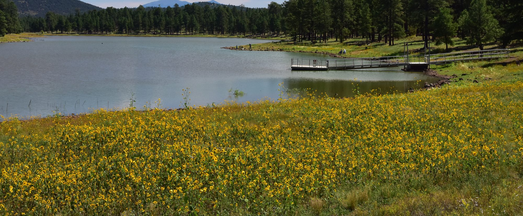
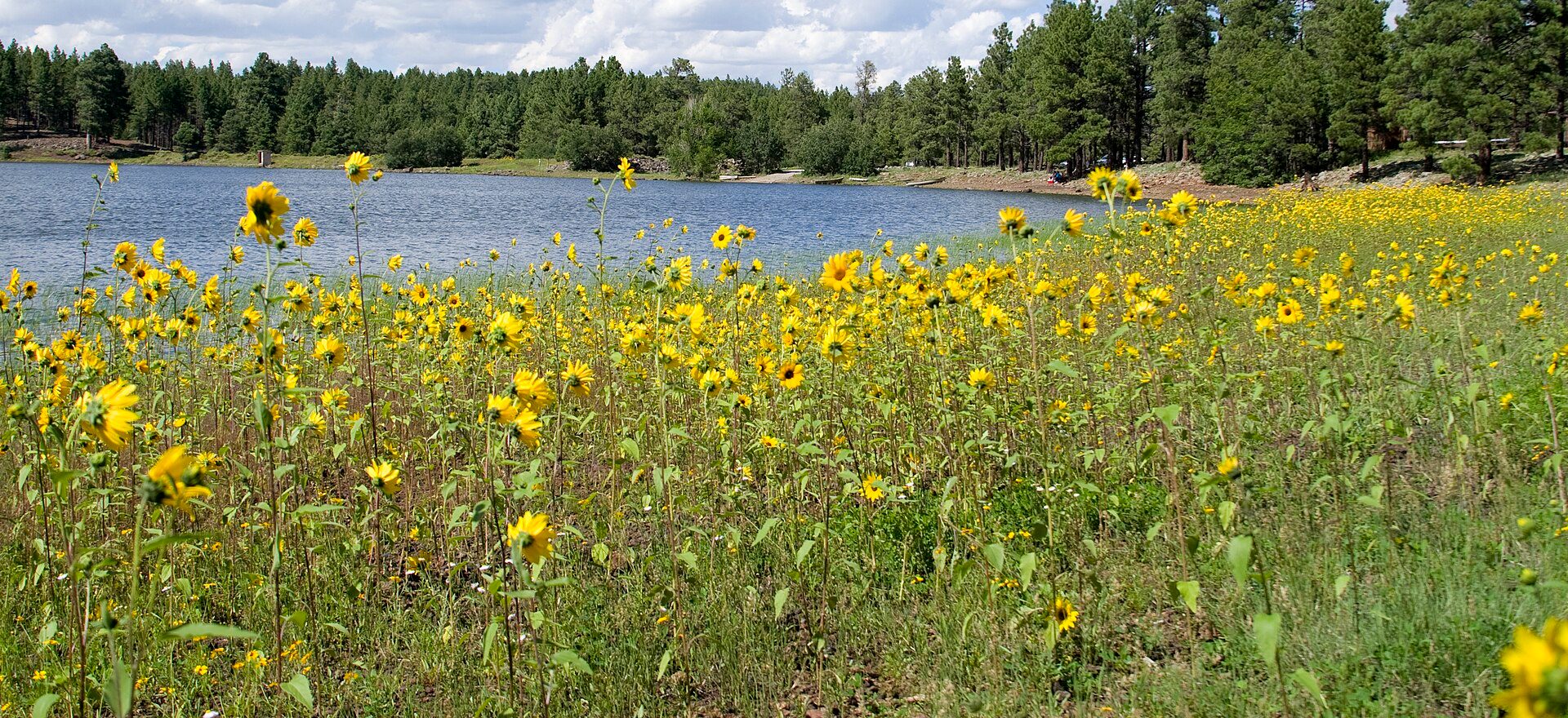
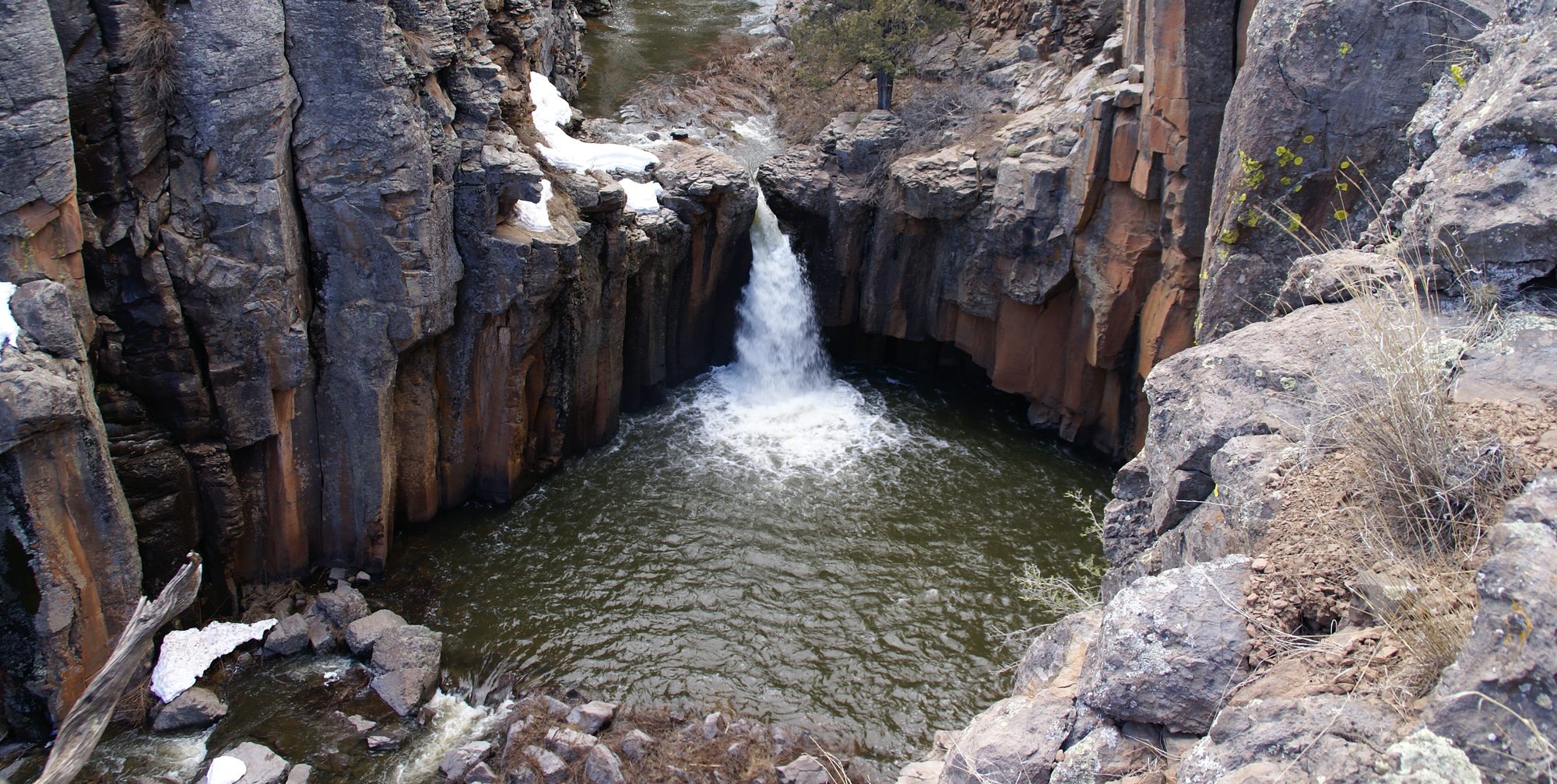
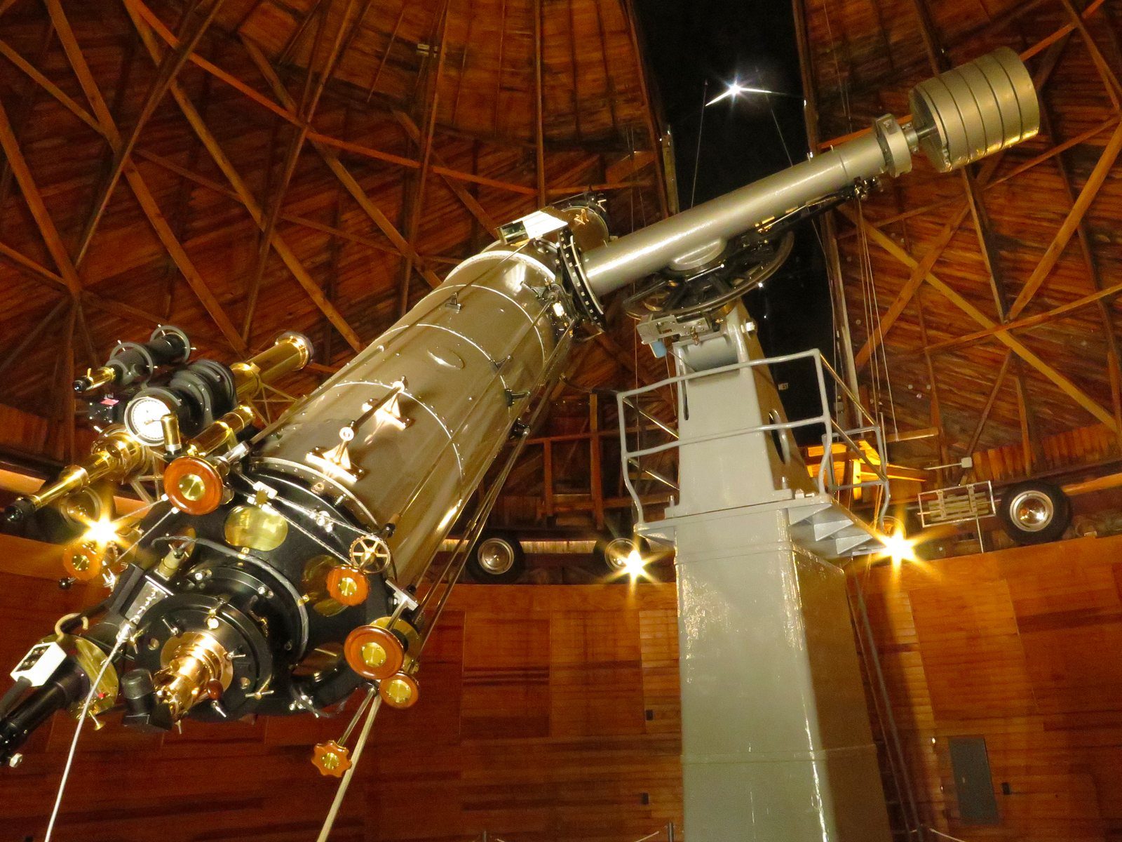
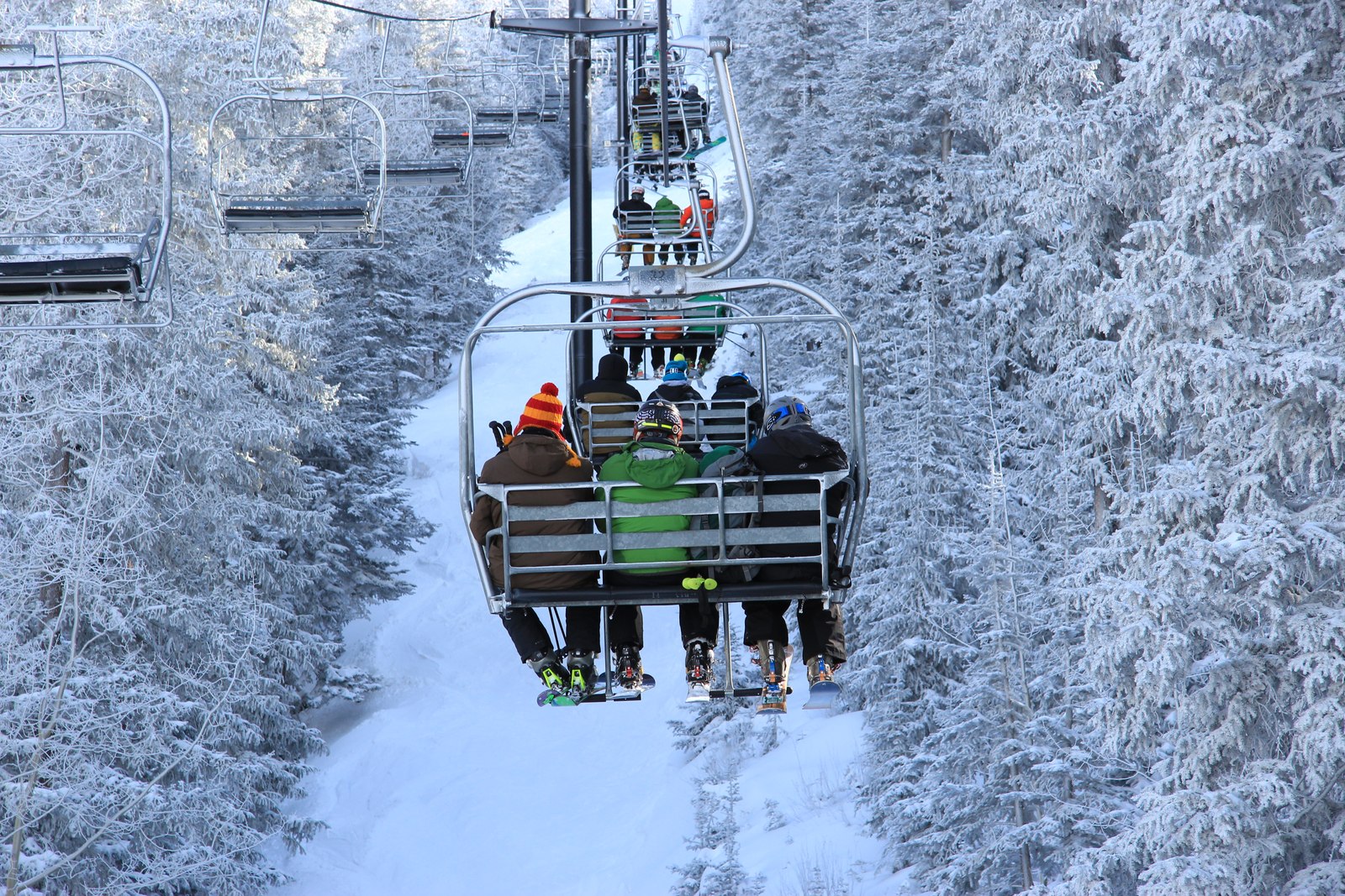
Grand Canyon South Rim: “Grand Canyon National Park: Sunset from Yaki Point 5207” — Michael Quinn / National Park Service, Public domain. Resized; card display may crop. Valle & Raptor Ranch: “Williams – Bedrock City – Barney’s House – Inside” — Jared (Flickr: jared422), CC BY 2.0. Cropped and resized; card display may crop. Kaibab Lake: “Kaibab Lake (39937097214)” — Dyan Bone / U.S. Forest Service, Southwestern Region, Kaibab National Forest, CC BY-SA 2.0. Cropped and resized; card display may crop. Bearizona: “American black bear at Bearizona Wildlife Park” — Christopher Amrich, CC BY-SA 2.0. Resized; card display may crop. Williams & Route 66: “Grand Canyon Railway 4960 June 2006” — Bill Morrow, CC BY 2.0. Cropped and resized; card display may crop. Bill Williams Mountain: “Williams District Fall Colors 2016” — Dyan Bone / U.S. Forest Service, Southwestern Region, Kaibab National Forest, CC BY-SA 2.0. Cropped and resized; card display may crop. Red Butte Trail: “On the way to the Grand Canyon” — Tony Hisgett, CC BY 2.0. Cropped and resized; card display may crop. Dogtown Lake: “Dogtown Lake” — U.S. Forest Service, Southwestern Region, Kaibab National Forest, CC BY-SA 2.0. Cropped and resized; card display may crop. Sycamore Canyon: “Sycamore Falls During Snowmelt” — Thomas L. Dauenhauer / Kaibab National Forest, Public domain. Cropped and resized; card display may crop. Flagstaff: “Downtown Flagstaff AZ Weatherford Hotel 2026-04-07 08-42-59” — G. Edward Johnson, CC BY 4.0. Cropped and resized; card display may crop. Lowell Observatory: “Lowell Observatory NRIS-66000172-Clark Telescope2-Flagstaff Arizona” — Packbj, CC BY-SA 4.0. Resized; card display may crop. Arizona Snowbowl: “AZ Snowbowl – Winter (5)” — Southwestern Region, USDA Forest Service, Public domain. Resized; card display may crop.
All of it under Coconino County's G General zoning and the ranch's recorded covenants.
Twelve acres, and a lot of ways to spend them. A weekend cabin, a season in the RV, or a small homestead of your own.
About 396 feet along the road, and then the land keeps going for about 1,330 feet. It rolls gently, with only about 19 feet of rise across all of it. If we were building here, we'd put the house mid-lot, on the slight high ground with the longest views.
Mid-lot on the slight high ground, with about 625 feet of open land between you and the house next door.
It stands alone on the skyline, a landmark you'll know from anywhere on this land.
Arizona's highest. Humphreys Peak comes clear from the middle and back of the land.
We finance this land directly, no bank needed. Start with a monthly budget, then choose your down payment and how long you'd like to pay.
Next, you'll choose your down payment and how long to pay.
About 2.1 miles from AZ-64 to your road frontage, on graded dirt the whole way.
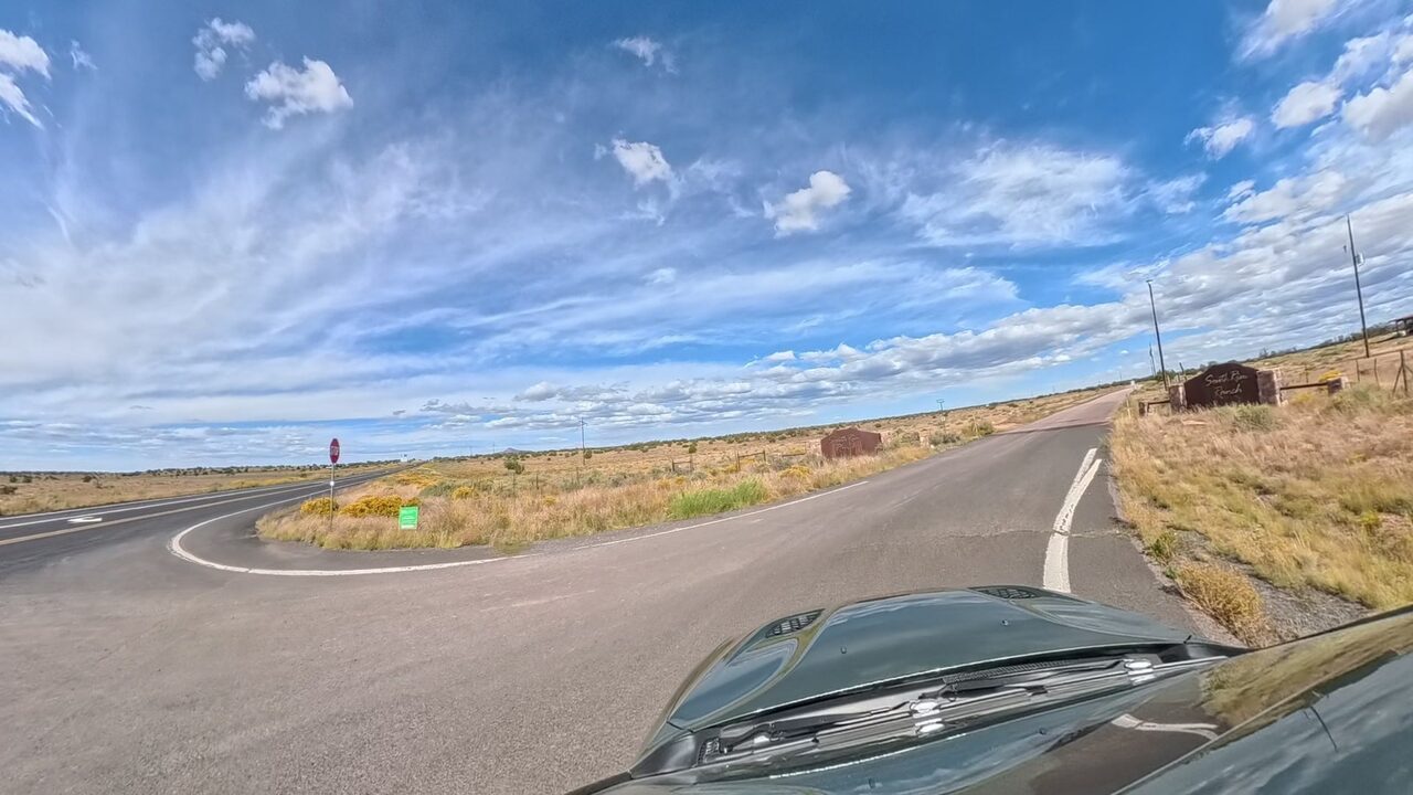
From Williams, go north on AZ-64 past Valle and continue about 3.6 miles. Turn right at the South Rim Ranch entrance. Coming south from Tusayan, turn left. Follow South Rim Ranch Road for about one-third mile.
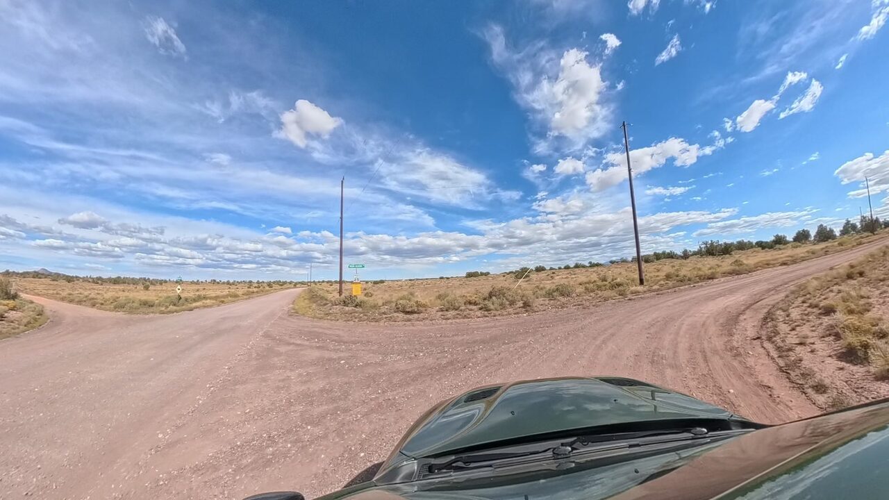
After about one-third mile, turn right onto Indian Meadows Road. Follow it south, then around its bends to the east, for about 1.8 miles.
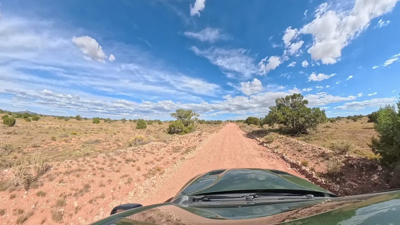
Stay on Indian Meadows Road through its gentle bends. This land is on the left, between 2275 and the home at 2401.
This is off-grid country, and that's part of the freedom. The sun does the work, the water comes by tank, and this road already lives that way.
The sun does the heavy lifting here: about 1,790 kWh a year per kW of panels, as much as Phoenix, with good output even in December. Plan on solar and batteries, with a generator for backup, the same setup the home next door sold with.
That's how life works on this road, with 2,600 and 5,000 gallon tanks at nearby homes. There are fill stations in Valle, about 13 minutes away, and the county encourages catching rain off your roof too.
AT&T, T-Mobile and Verizon all cover this area, with 5G from AT&T and T-Mobile.
Satellite runs up to about 220 Mbps here, plenty for video calls and streaming, and fixed wireless reaches the area too.
Summer afternoons in the 80s, while Phoenix sits above 100.
About 23 miles to the South Entrance, about 36 minutes. The Visitor Center at Mather Point is about 28 miles, about 46 minutes to parking.
Graded dirt the whole way from the highway. The property owners' association maintains these private roads, and most of its budget goes to them.
Put 2345 Indian Meadows Rd, Williams, AZ 86046 into your maps app. It takes you to the road frontage, between 2275 and 2401 on the north side of the road.
Yes. A county permit gives you up to 120 consecutive days, and the covenants allow up to 120 days a calendar year. Once you're actively building under a county permit, a renewable temporary permit covers RV living.
A home or cabin of at least 480 square feet, up to two stories, or a manufactured home no more than 5 years old when installed, skirted. A shed or shop can come first, within county rules. There's no deadline to start.
Yes. The covenants expressly allow small-scale agriculture and keeping animals for food or just for the company.
Plan on solar and batteries, with a generator for backup. The sun is strong here: about 1,790 kWh a year per kW of panels, as much as Phoenix, with good output even in December.
Your own tank. That's how life works on this road, with 2,600 and 5,000 gallon tanks at nearby homes. There are fill stations in Valle, about 13 minutes away, and the county encourages catching rain off your roof too.
Alternative systems are the norm out here, and the covenants allow them. It starts with a county site visit.
South Rim POA dues are $230 a year, mostly going to roads, and property tax is about $115 a year. That's about $345 a year, under $30 a month.
Yes. Long-term rentals of 30 days or more are allowed.
FEMA maps it outside the flood hazard area, in Zone X.
We finance it ourselves, with as little as 10% down. Use the payment-plan explorer on this page to pick a monthly budget, a down payment and a plan length, then talk it over with David.
Cash, or owner financing with as little as 10% down. David answers every call and text.