 Bedrock Land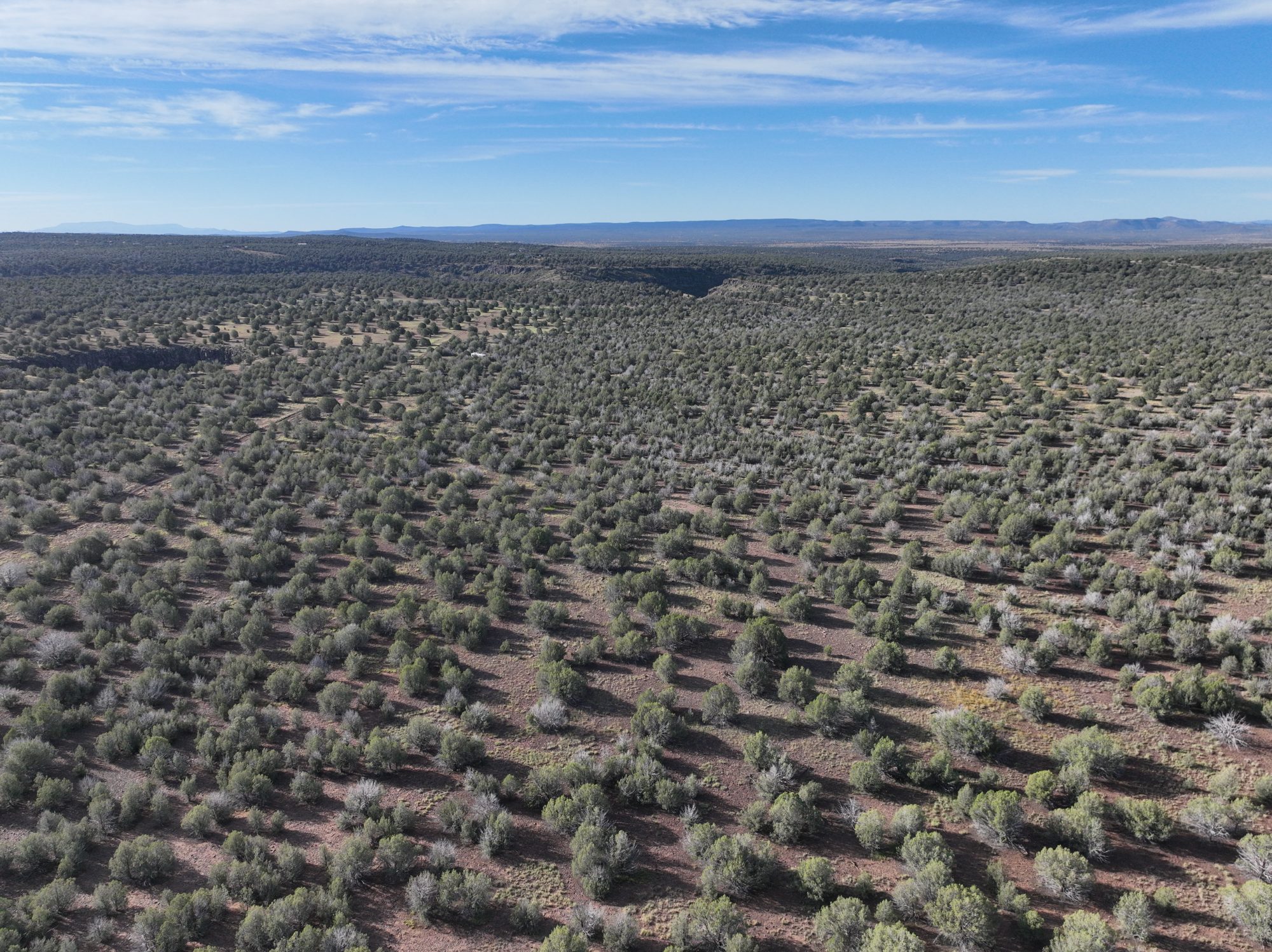
How far is the Grand Canyon?
Williams, about 20 miles east of the lot, is the classic gateway. From there, the South Rim is about 60 miles (roughly an hour) up Highway 64, or you can ride the Grand Canyon Railway from the Williams depot.
$9,975 cash, or $1,000 down and $230/mo for 5 years
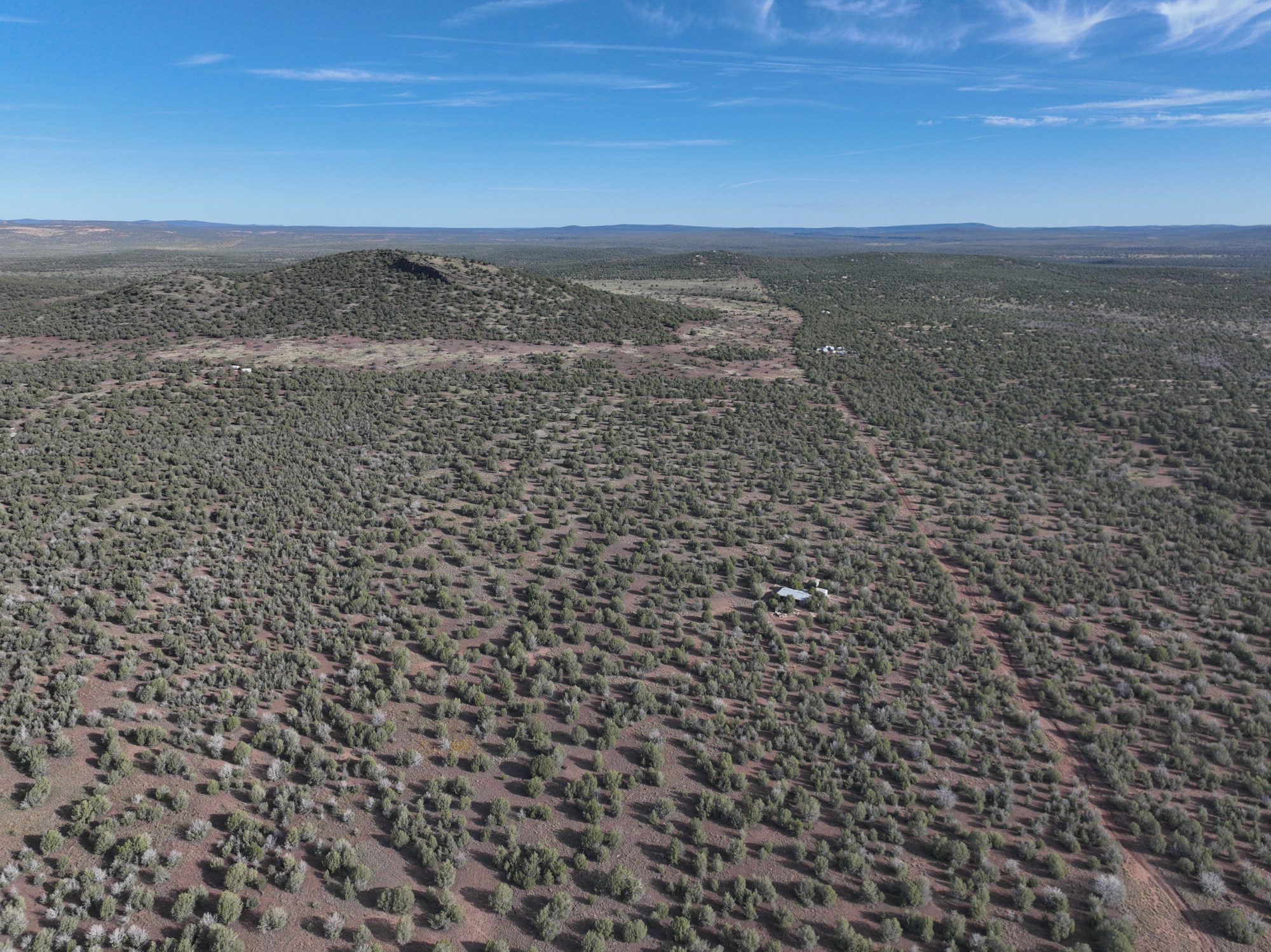
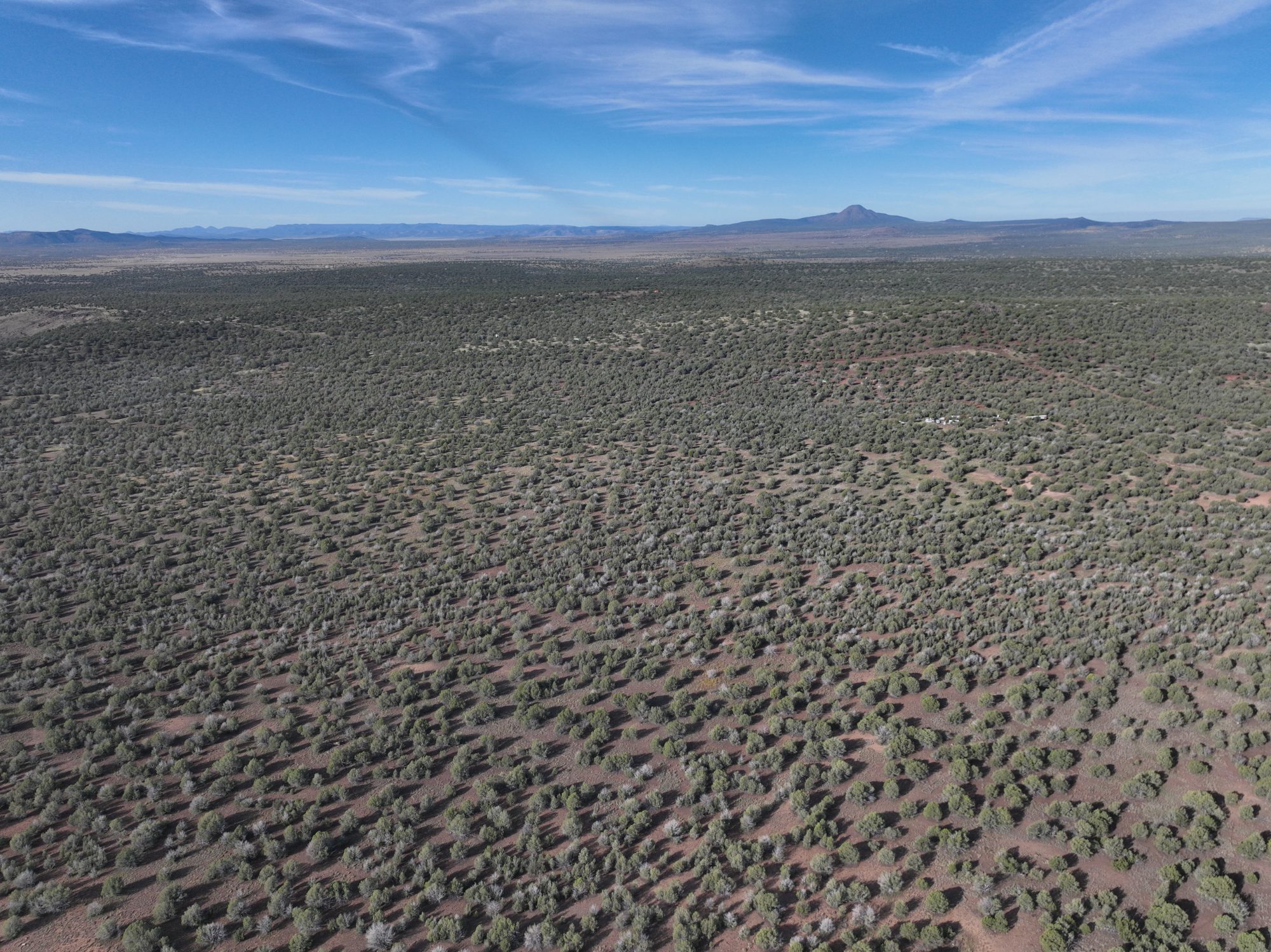
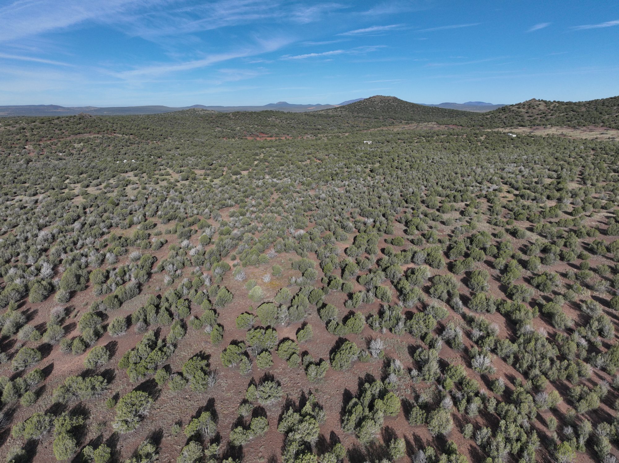
Red earth, scattered junipers, and a sky that runs all the way to the mountains. Lot 844 is 2.2 acres of northern Arizona high country at about 5,300 feet, a few miles north of Ash Fork and about 20 miles west of Williams, the old Route 66 town where the Grand Canyon Railway begins.
Start planning a cabin, sketch out an off-grid hideaway, or simply own a piece of Arizona you can hand down someday. It's $9,975 cash, or $1,000 down and $230 a month for five years, financed straight from us. Property taxes? About $40 a year.
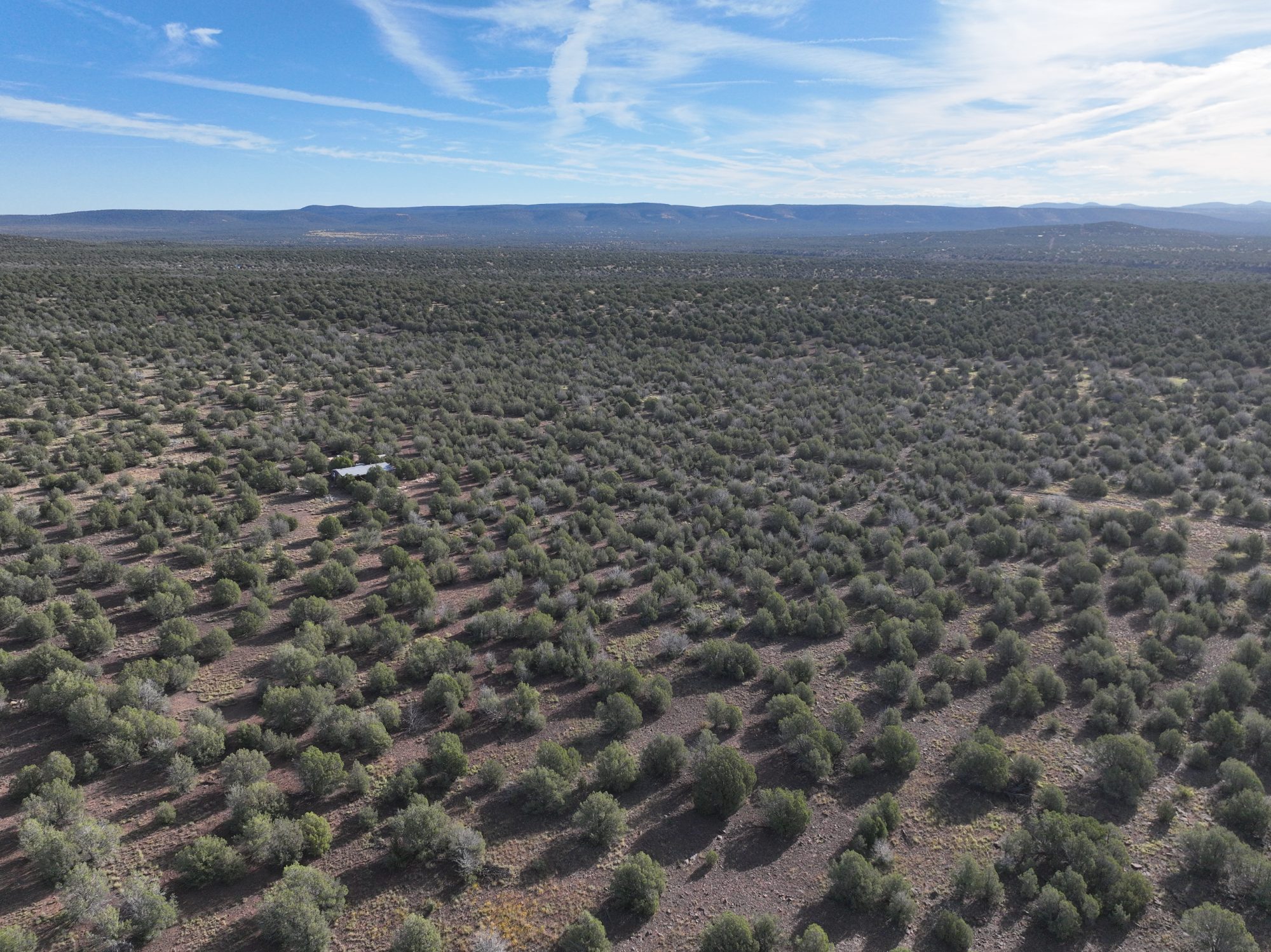
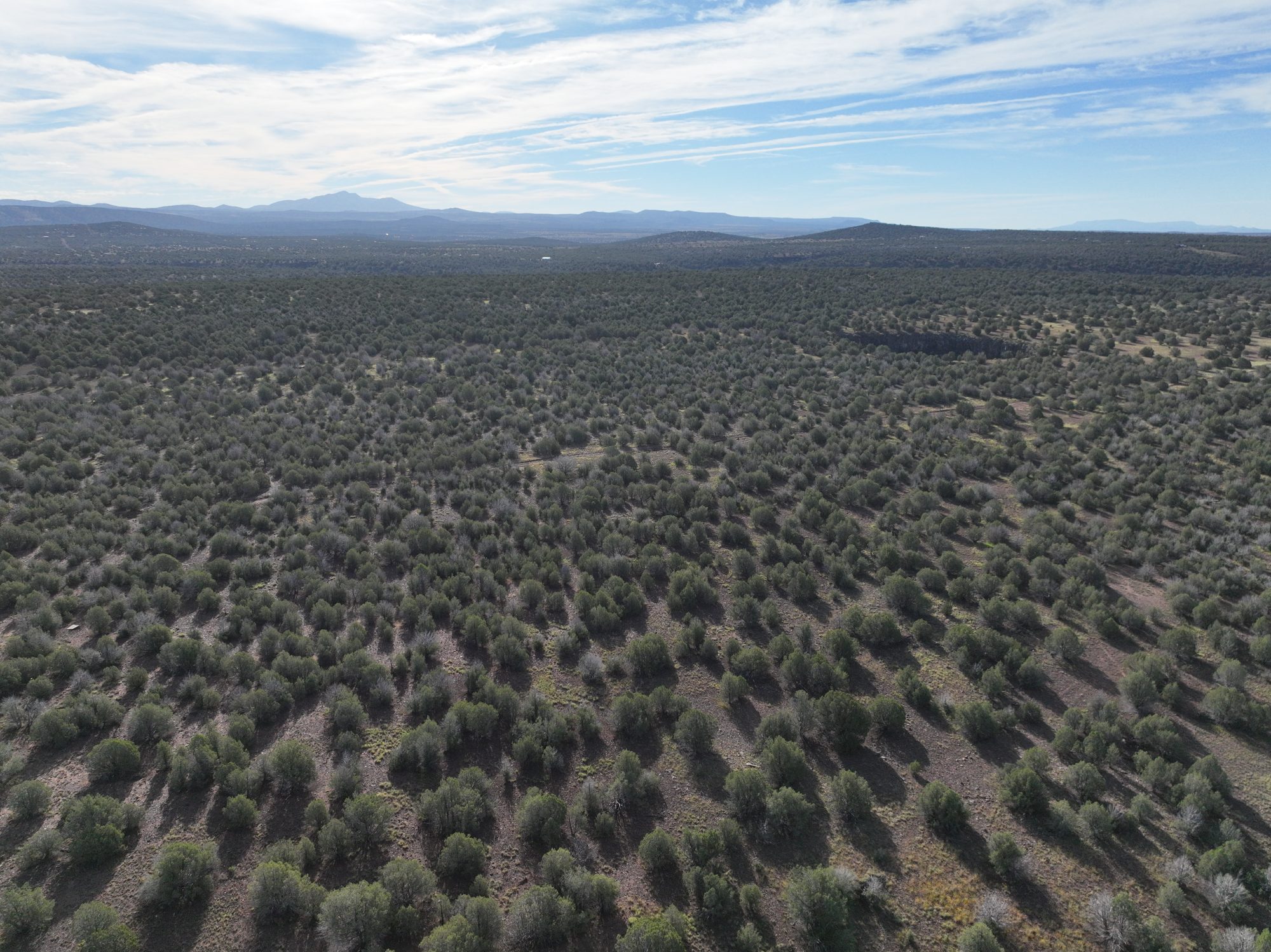
Six drone views from September 2026. Tap around the dial and decide which way the porch should face.
NorthwestNo bank and no financing fees: Bedrock finances this land directly. Plans run from 1 to 10 years, and the shorter you go, the less you pay in total.
Next, you'll choose your down payment and how long to pay.
A 520-acre tract of Arizona State Trust land starts about 280 feet east of the lot. With a State Land Department recreation permit ($15 a year, or $20 for a family), eligible State Trust land is open for hiking, horseback riding, biking, photography, birdwatching and camping.
Want a bigger day out? Williams is about 20 miles east, and the Grand Canyon's South Rim is about an hour north of there on Highway 64. Flagstaff and Prescott are each about an hour's drive from Ash Fork, and Phoenix is under three hours.
A seasonal pond is mapped on the State Trust tract. When it holds water, it can draw wildlife from the surrounding country.
Rough, narrow dirt roads on the way in. Route details are under Getting there, below.
The pin is approximate, not a surveyed boundary: 35.27685, -112.53254.
The essentials on Lot 844, including how to get there.
About 289 × 331 ft. Acreage and boundaries are approximate, not surveyed.
Agricultural Residential. Homes are an allowed use, with Coconino County permits.
$40.46 for all of 2026. About $3.37 a month.
Legal access is from the west, but the last 900 feet of that road are overgrown. The nearest clear road is about 280 feet to the east and runs along the edge of the neighboring lot. Expect rough, narrow dirt roads on the way in.
Plan on an off-grid setup. No power, water or sewer service is confirmed at the lot, and the high-desert sun makes solar a natural fit.
The original 1965 deed restrictions set up no HOA and no dues.
The recorded restrictions provide for homes, one dwelling-house trailer per acre, and livestock, with county permits. The recording reference is under Legal description and sources.
What buyers ask most, with straight answers.
Williams, about 20 miles east of the lot, is the classic gateway. From there, the South Rim is about 60 miles (roughly an hour) up Highway 64, or you can ride the Grand Canyon Railway from the Williams depot.
The zoning allows it. The lot is Agricultural Residential, and homes are an allowed use with Coconino County permits.
Bedrock finances the land directly: no bank and no financing fees. Put down $1,000 or more and pick a plan from 1 to 10 years. With $1,000 down, 3 years is $327 a month ($12,772 total), 5 years is $230 ($14,800 total), and 10 years is $164 ($20,680 total).
Totals don't include closing, recording or property-tax costs. You'll get the full written schedule and agreement before you sign.
$40.46 for 2026. That's for the whole year.
With an Arizona State Land Department recreation permit ($15 a year, $20 for a family), eligible State Trust land is open for hiking, horseback riding, biking, picnicking, photography, birdwatching and up to 14 days a year of camping.
The 520-acre tract starts about 280 feet east of the lot.
Legal access is from the west, but the last 900 feet of that road are overgrown. The nearest clear road is about 280 feet to the east and runs along the edge of the neighboring lot.
Expect rough, narrow dirt roads on the way in, and bring something with good clearance.