Bedrock
Land Group
(737) 353-1661
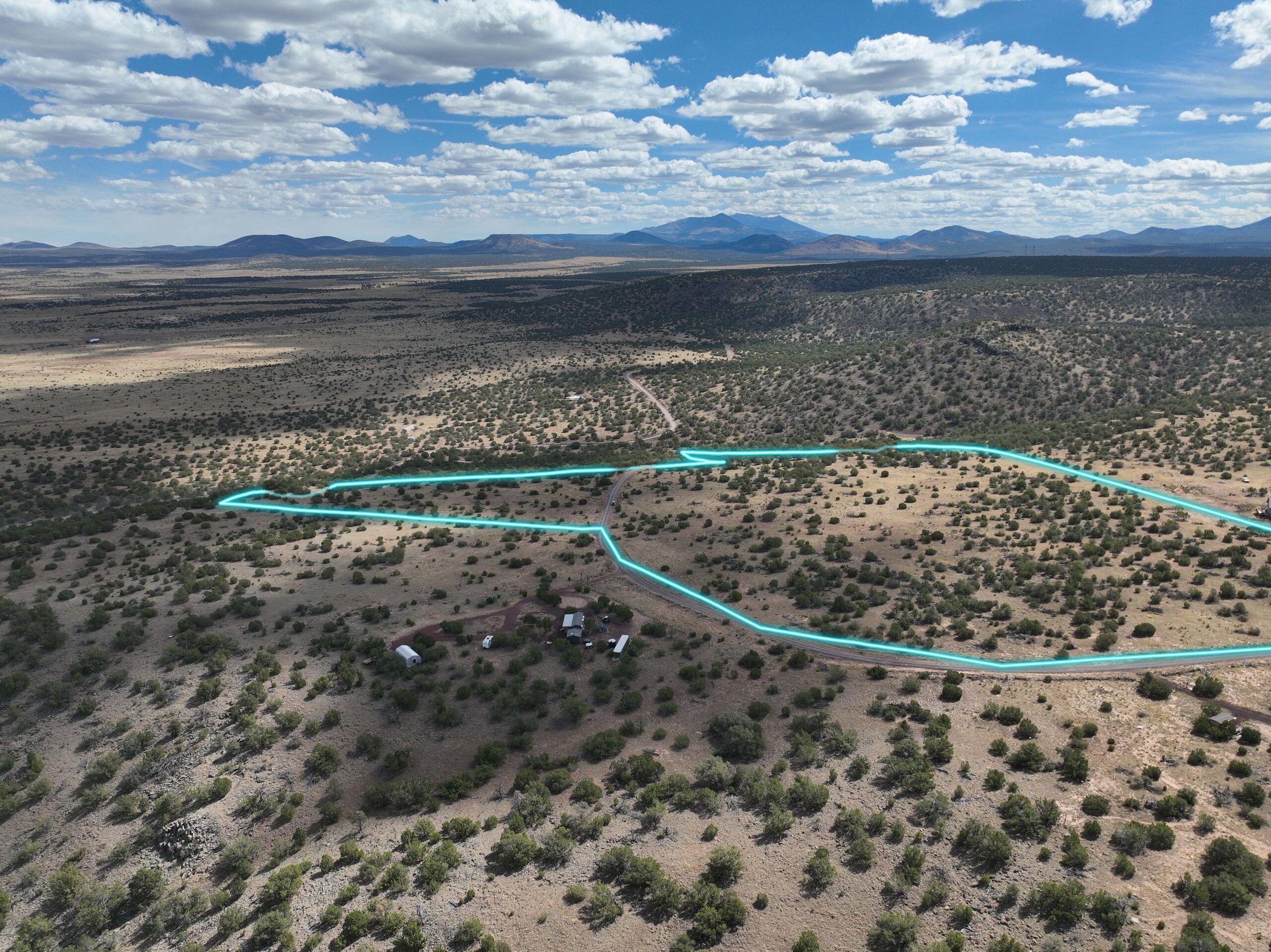
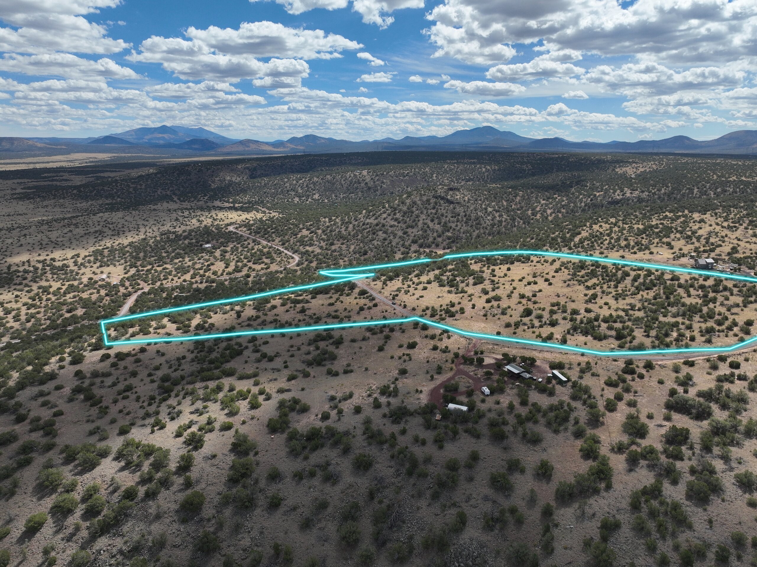
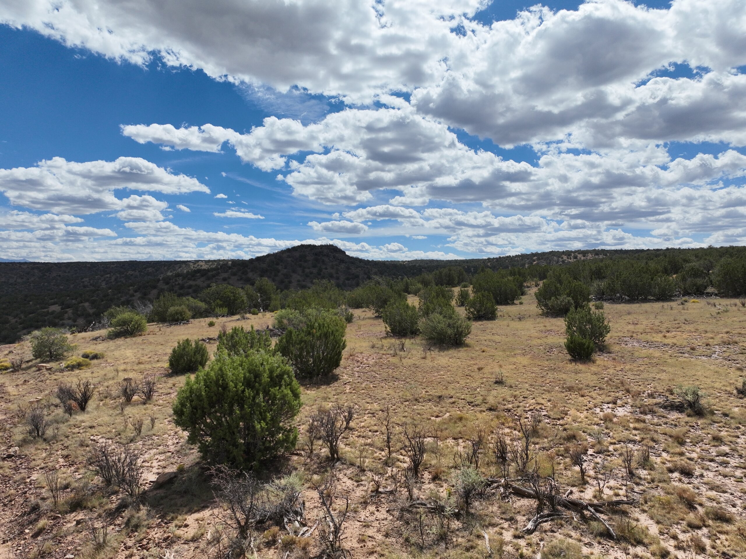
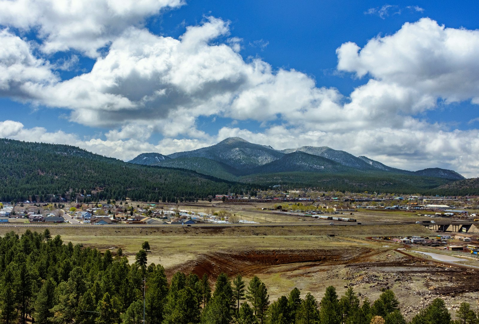
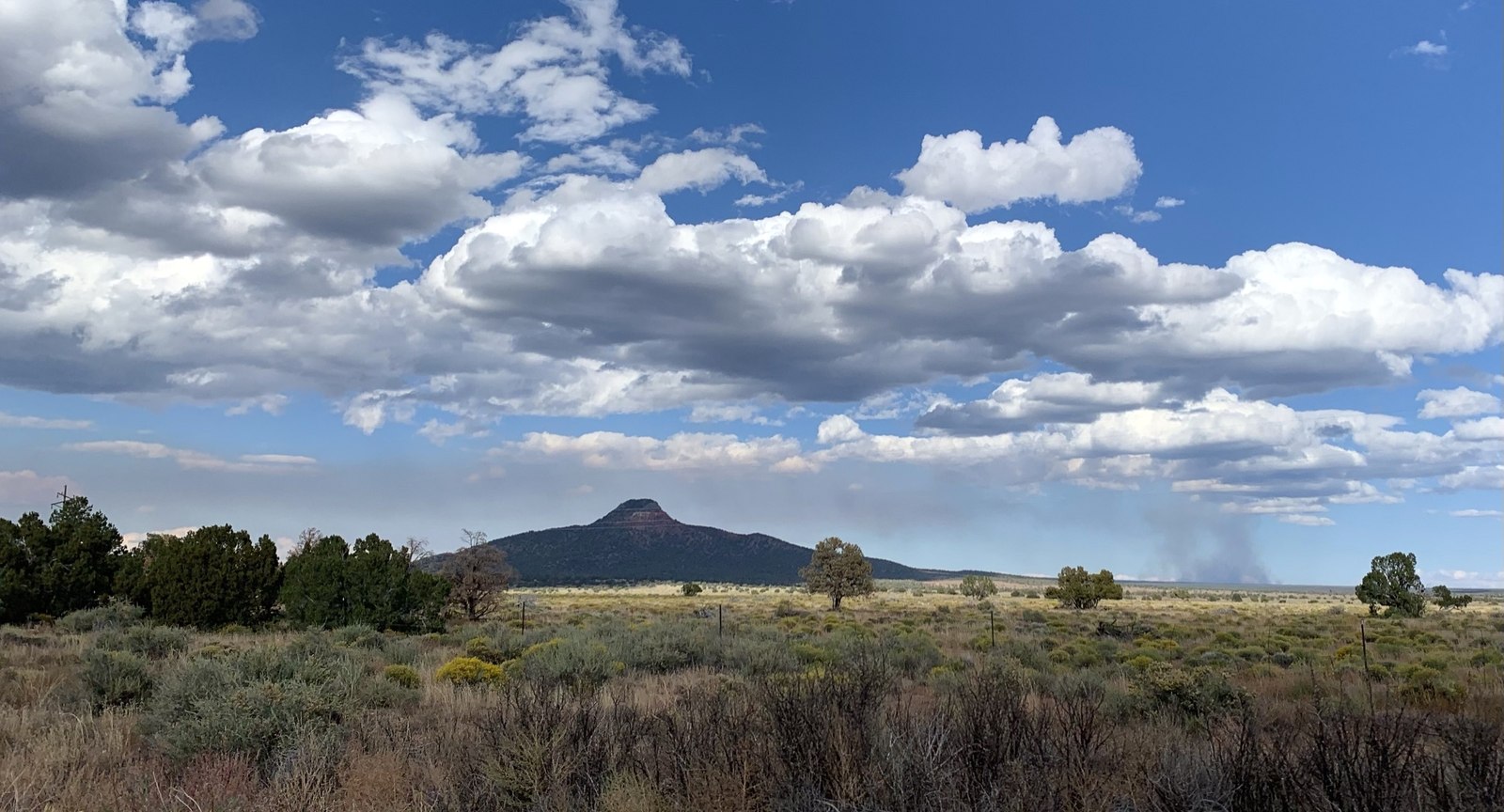
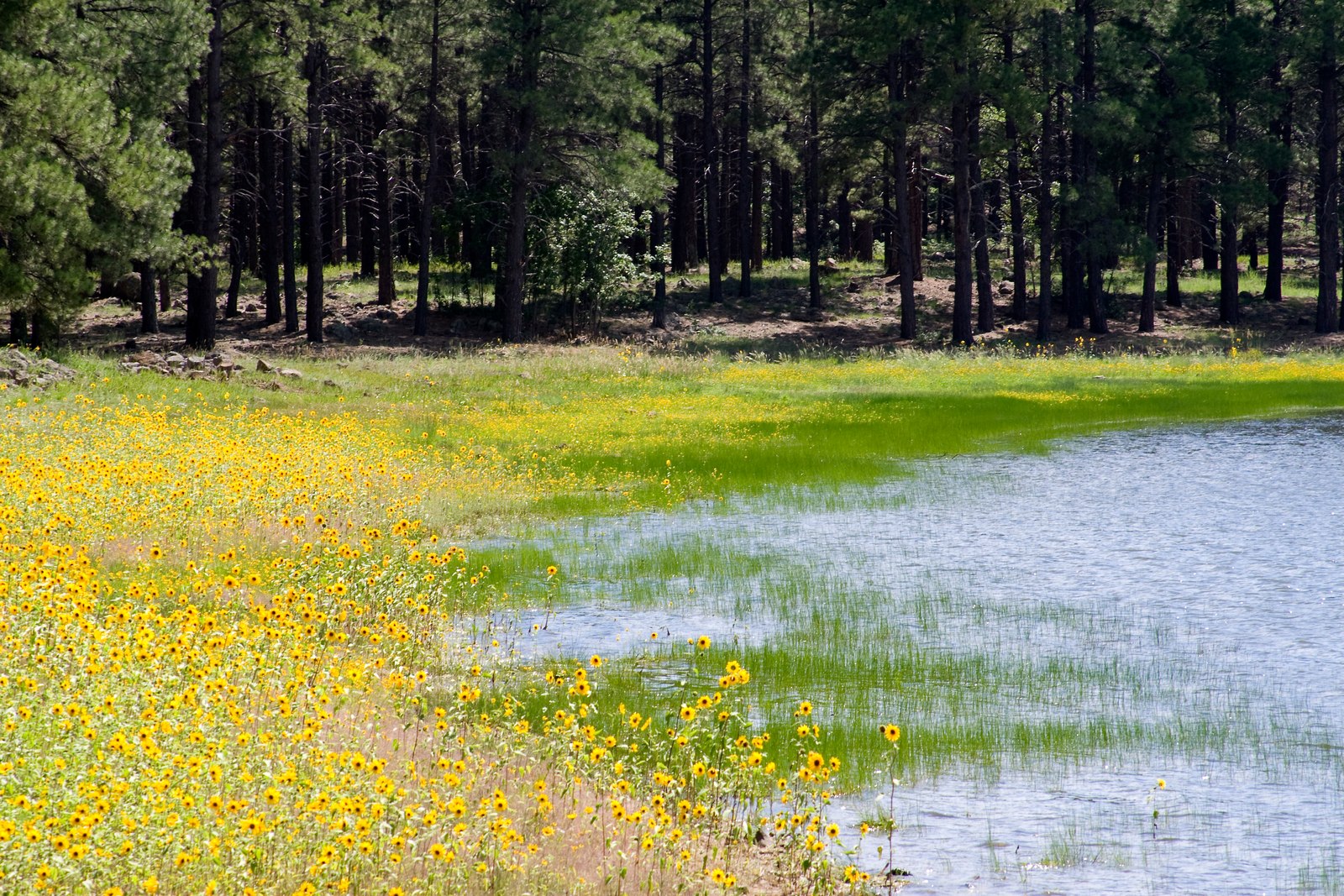
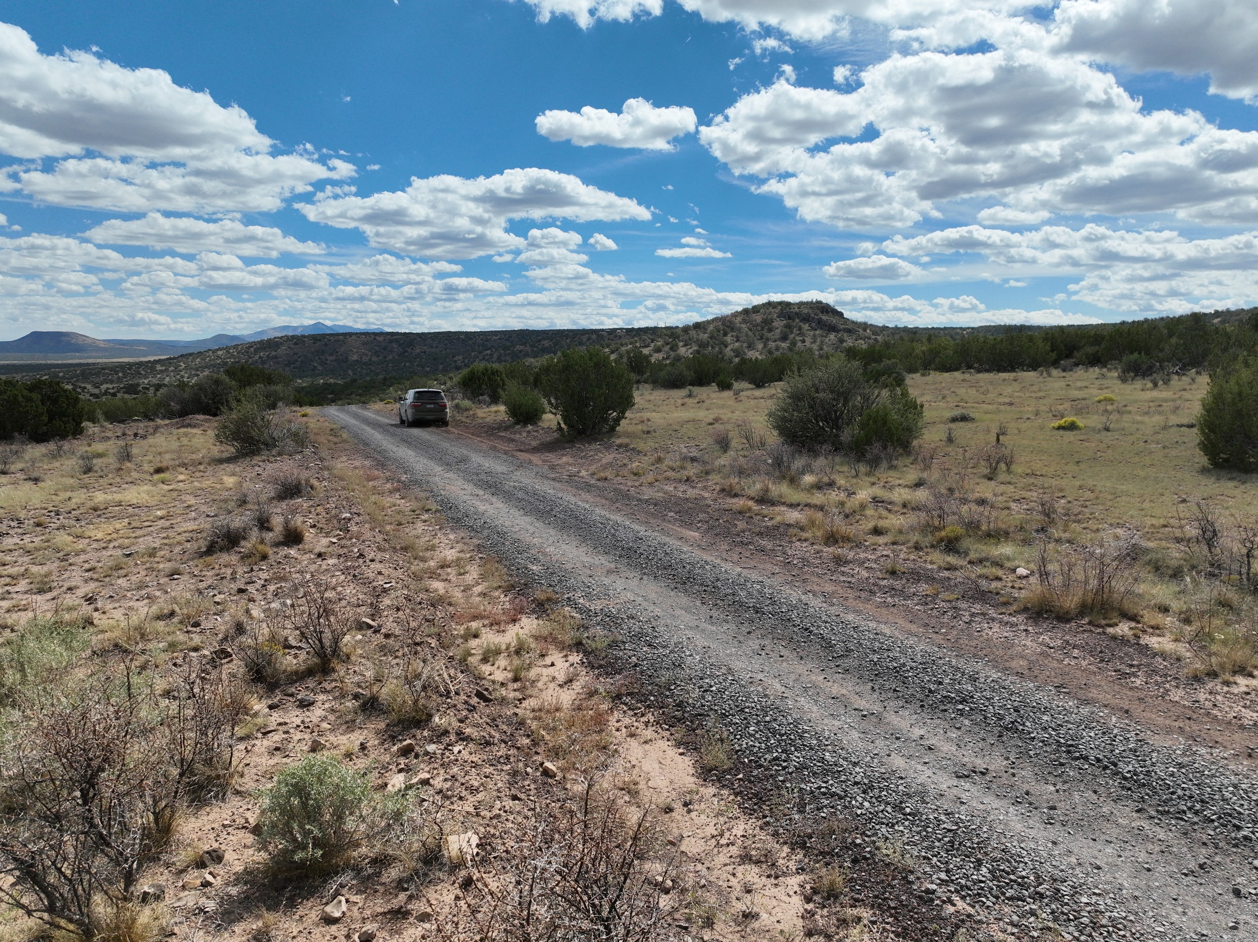
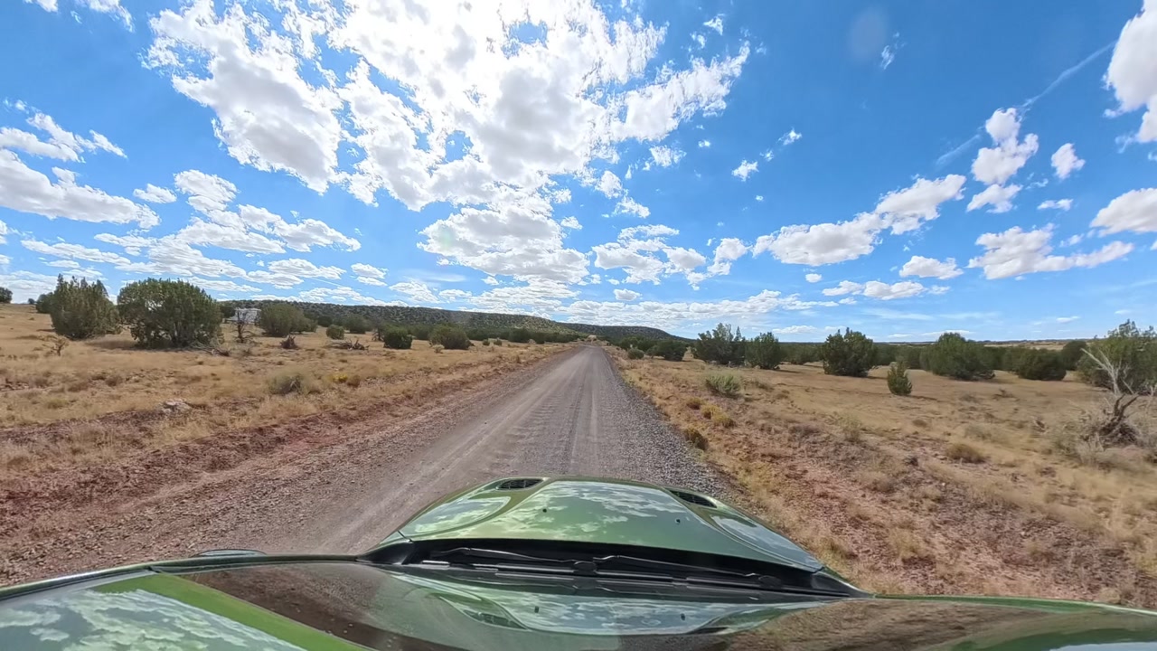
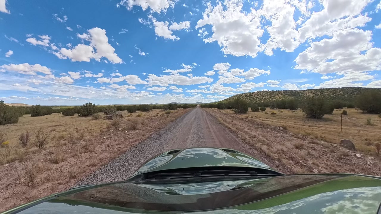
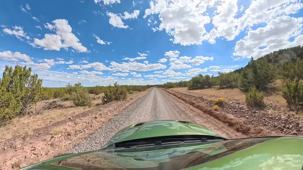
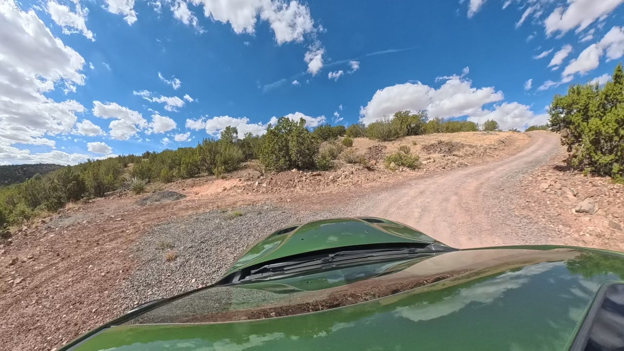
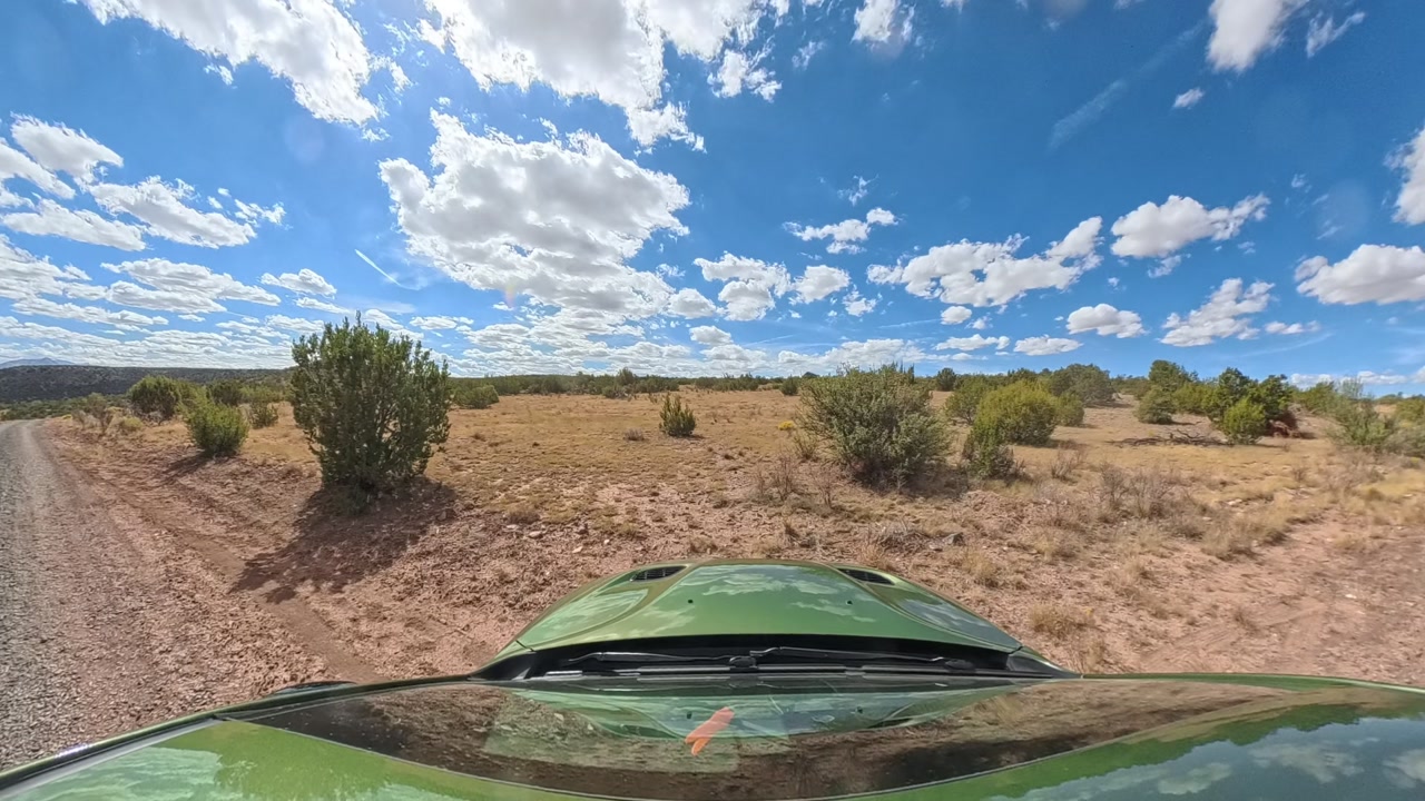
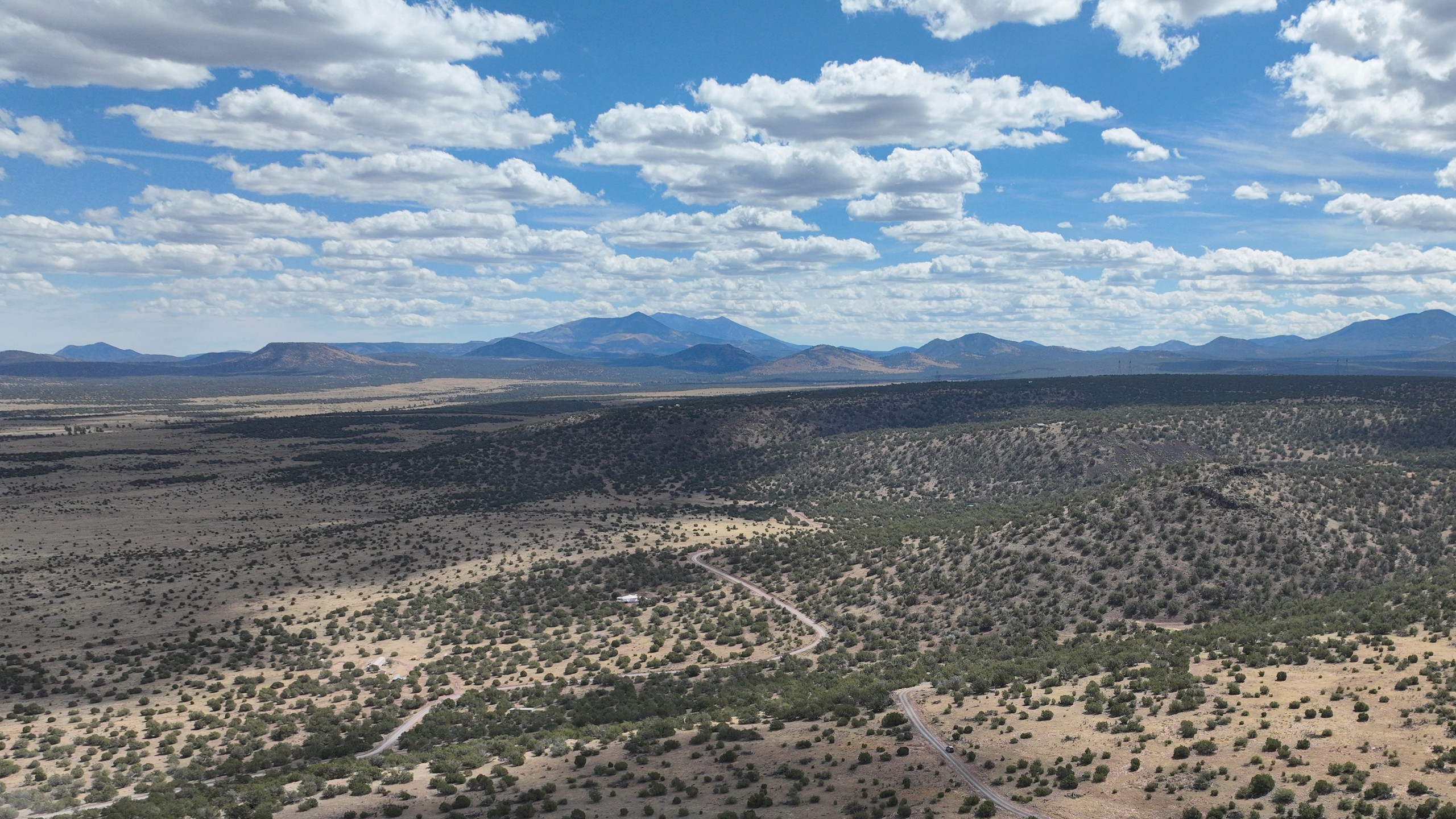
Juniper woodland, open country and the San Francisco Peaks under big cloudsThe San Francisco Peaks and Kendrick Peak lined up on the eastern skylineLooking southeast across Howard Mesa's juniper country to the San Francisco Peaks on the skylineJuniper, pinyon and open grass on the mesa top
San Francisco Peaks
Arizona's highest · 29 mi east
Howard Mesa Ranch · Between Williams and the Grand Canyon, AZ

40 wooded acres on a mesa, with the San Francisco Peaks across the valley

$94,900
cash, or owner financing, as little as 10% down
See plans

Stand at the edge of the mesa and look east. The San Francisco Peaks and Kendrick Peak line up across the valley, Arizona's highest mountains, 29 and 18 miles off. Behind you, juniper and pinyon open onto grassy meadows. After dark, the sky here is darker than at Grand Canyon Village.

This is 40 acres with two characters. The west 60% is a gently sloping mesa top: about 20 acres of easy ground at 6,440 to 6,500 feet, sitting 200 to 300 feet above the open country to the north, east and west. On the east side the land drops away in a wooded escarpment, 150 to 180 feet to the valley below: trees, privacy and a real sense of height. Our favorite homesite is the terrace just north of the upper road, facing the Peaks.

Build a cabin or a home, put up a barn, bring the horses, or keep it as your base for elk season. The Grand Canyon is about an hour north and Williams 30 minutes south. Pay cash, or let us finance it with as little as 10% down.

  • 40 acres, about 20 of them gently sloping mesa top
  • Views east to the San Francisco Peaks
  • Among the darkest night skies near any town
  • About an hour to the Grand Canyon, 30 minutes to Williams
  • Elk country: Kaibab National Forest 1.3 miles east
  • Owner financing with as little as 10% down
Around Nov 8 and Feb 2

Sunrise out of the Peaks

From the south rim the sun comes up out of the San Francisco Peaks for about ten days in early November and again in early February, at about 7:10 and 7:40 am. Kendrick Peak lines up in front of them.

Room to spare

About 21 acres of easy ground

A 2,000 sq ft home and a 40×60 barn, drawn to scale on the plan, use well under an acre of the mesa top. And the covenants allow dividing these 40 acres into as many as three parcels of 12 acres or more, so you could keep the piece with this view and later sell or share the rest.

Drawn to scale. Light ground is under 10% slope, tan is 10 to 15%, darker is steeper.

500 ftYour porch: the south rim6,455 ftSunrise and the Peaks · 29 miHomeBarnNorth rim spotHigh ground spotN500 ftYour porch: the south rim6,455 ftSunrise and the PeaksN
Drawn to scale. Light ground is under 10% slope, tan is 10 to 15%, darker is steeper.

The valley stays below you

150 to 275 ft under your line of sight

The rim sits well above the valley in front, so anything built down there stays under your view of the Peaks.

213 ft clearover a two-story house belowYou, on the rimYour line of sight to the Peaks →The line clears the ridge 1.2 mi out by 55 ft213 ft clearover a two-story house belowYou, on the rimLine of sight to the Peaks →Clears the ridge ahead by 55 ft
Photos

From the mesa top to the Peaks

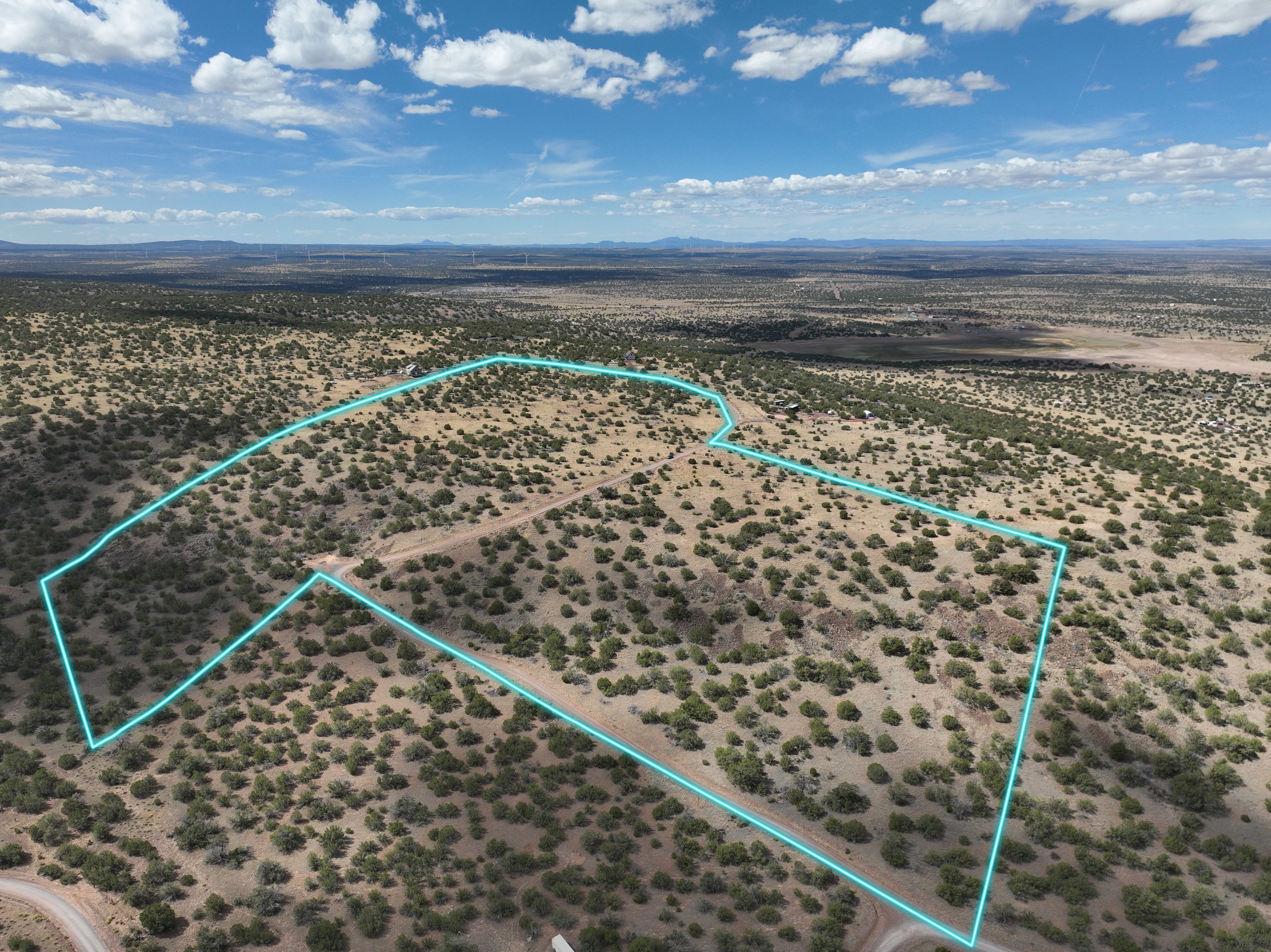
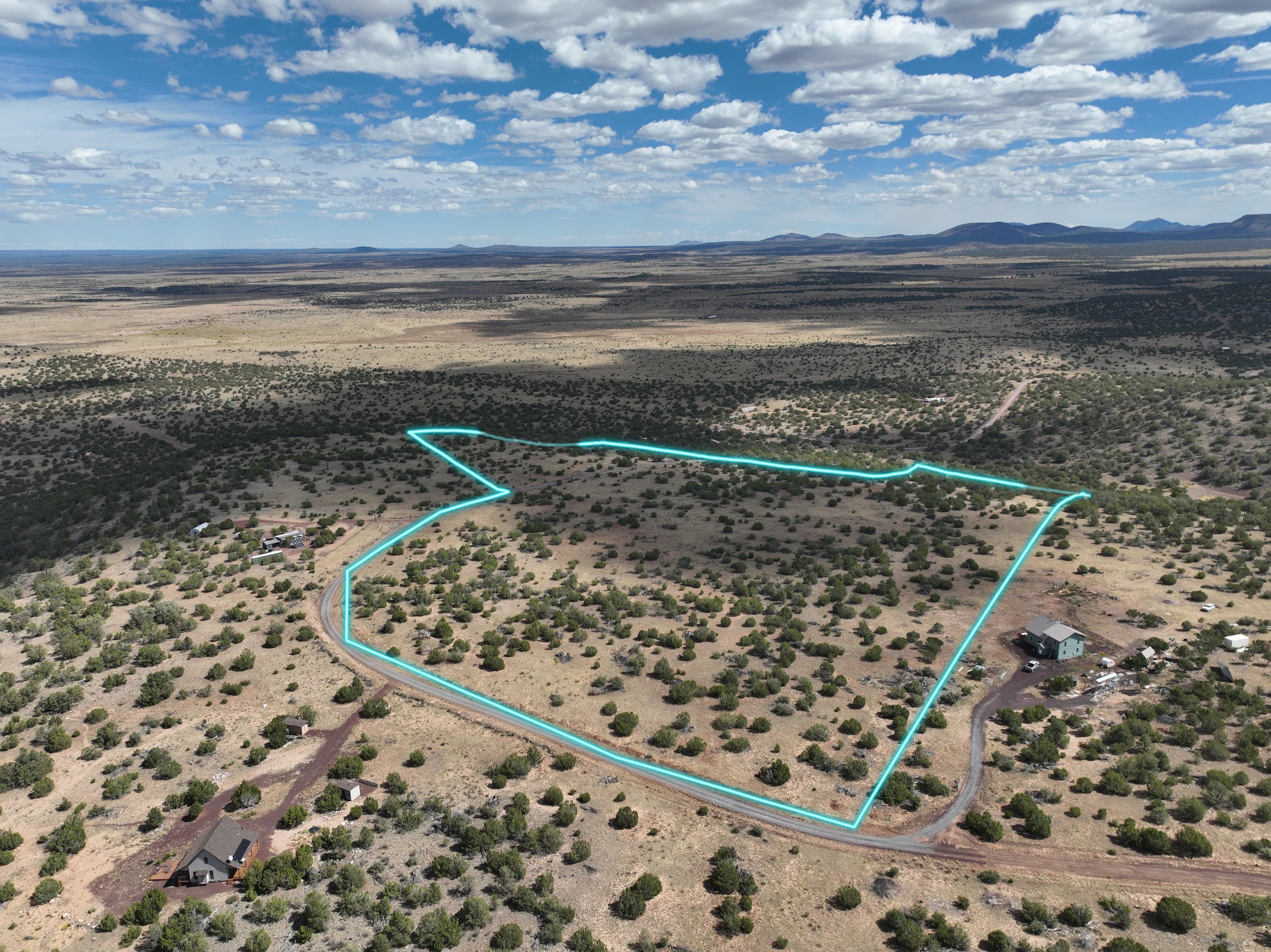
The Peaks to the east, the wooded escarpment on the east side, the gentle mesa top to the west, and the road that brings you up. The cyan line on the photos is the boundary, the same line as on the maps and in the flyover. Pick a number on the map to stand where the camera stood, or tap the photo to go full screen.Swipe through them, or tap one to see it full screen.

Looking west-northwest1 / 14
The whole 40 acres: gentle mesa top to the west, wooded escarpment to the east.
After dark

The Milky Way, from your own land

Out here the night gets truly dark, darker than Grand Canyon Village. Grand Canyon National Park, about an hour north, is an International Dark Sky Park, and Flagstaff was the world’s first International Dark Sky Place. Step outside after dinner and the Milky Way is overhead.

1a
Light-pollution zone, roughly Bortle 1 to 2
21.95
Magnitudes per square arcsecond: darker than Grand Canyon Village
~1 hr
To Grand Canyon, an International Dark Sky Park
The neighborhood

Neighbors and nearby

Who's around you

Nearby
About 10 to 15 homesteads within a mile. Most lots are still open land.
Public land
Arizona State Trust land a few hundred feet south; Kaibab National Forest 1.3 miles east.

Williams, about 30 min

  • Groceries · Safeway
  • Supplies · Hardware and propane
  • Medical · A clinic in Williams; Flagstaff's hospital in about an hour
  • Closer · Valle, 17 minutes: gas, a store and the water station
ARIZONA HUNT UNIT
7W
Elk
country
  • Elkby draw
  • Pronghornby draw
  • Black bearover the counter
  • Archery deer, turkeyover the counter

An hour from the Grand Canyon

Sunset on the South Rim, dinner on Route 66, mountain trails, pine-lined lakes and a telescope night in Flagstaff, all an easy drive away. Tap a place to find it on the compass.

3 hr2 hr1 hr30 minNSEWGrand CanyonValleKaibab LakeBearizonaWilliamsBill Williams MtnRed ButteDogtown LakeSycamore FallsFlagstaffLowellSnowbowlTHE LAND
Drive times from the land, plotted in the direction you'd head.
~1 hr
Within an hour

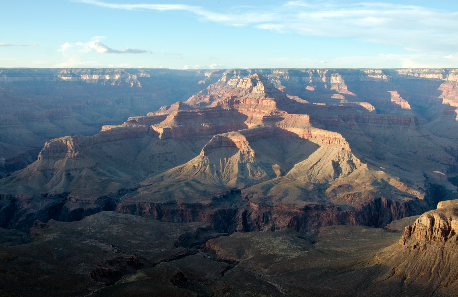
Grand Canyon South Rim

Make a canyon sunset an easy evening outing.

~19 min
Within half an hour

Valle & Raptor Ranch

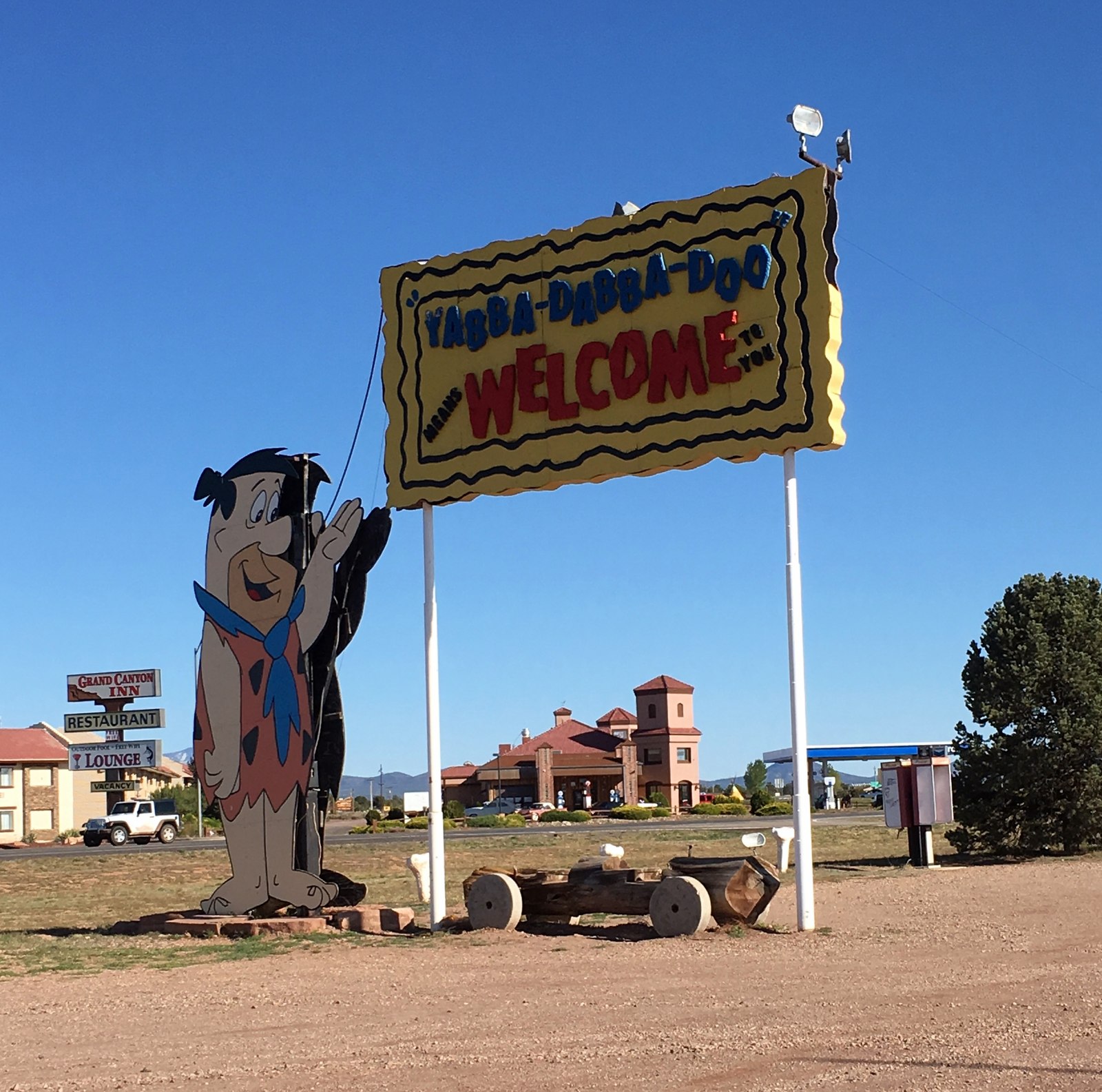
Birds of prey and vintage Bedrock City fun, a short hop up AZ-64.

~25 min
Within half an hour

Kaibab Lake

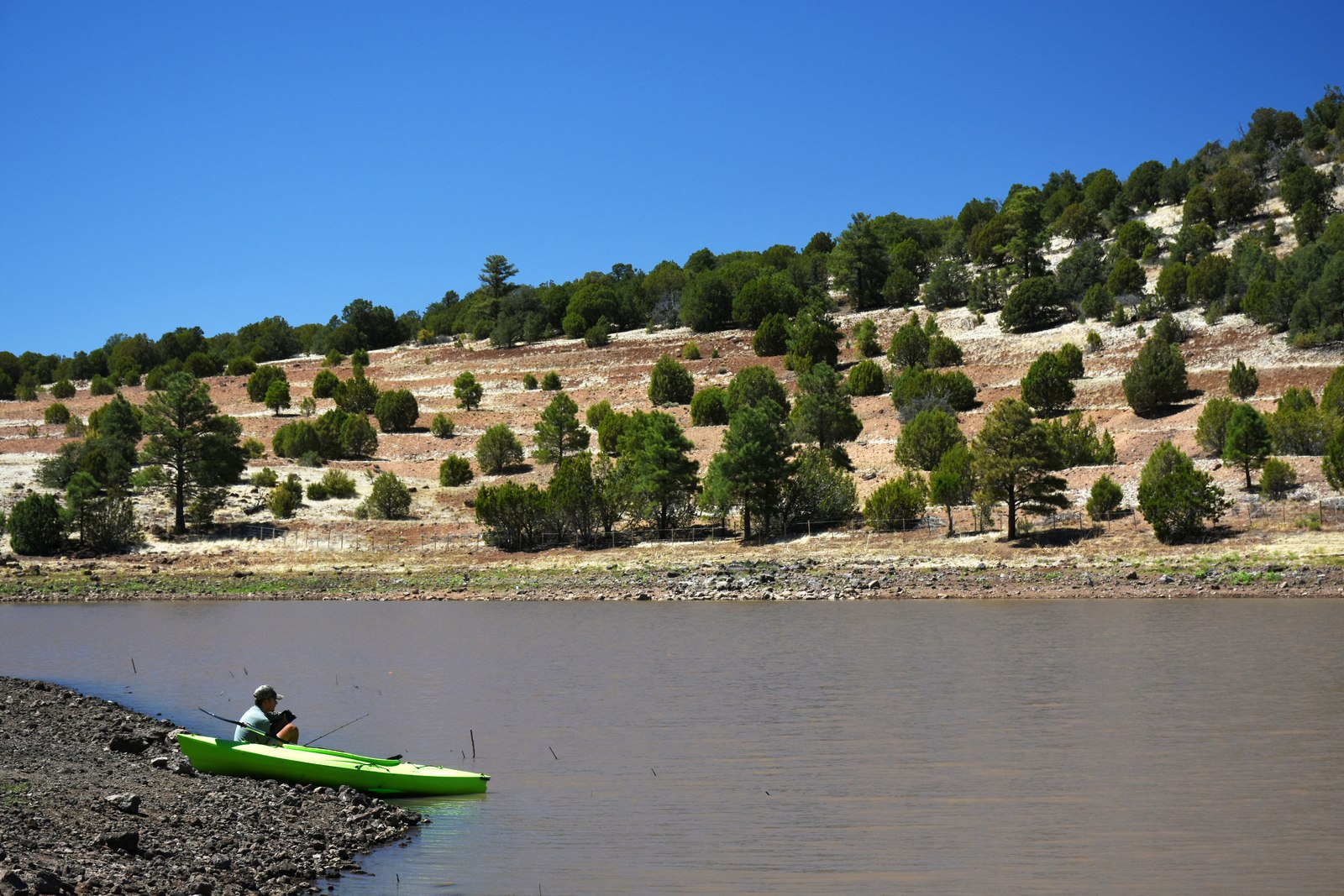
Fish and picnic in the pines; make it a camping weekend in the May–October season.

~27 min
Within half an hour

Bearizona

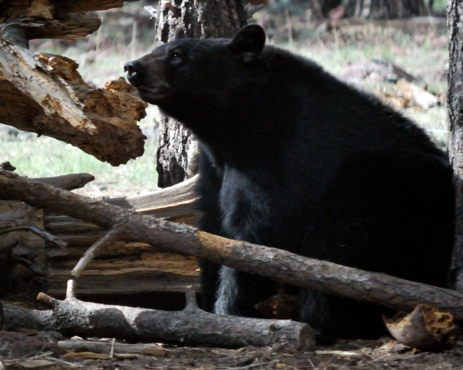
Take visiting family on a drive through the pines with bears and wolves.

~32 min
Within an hour

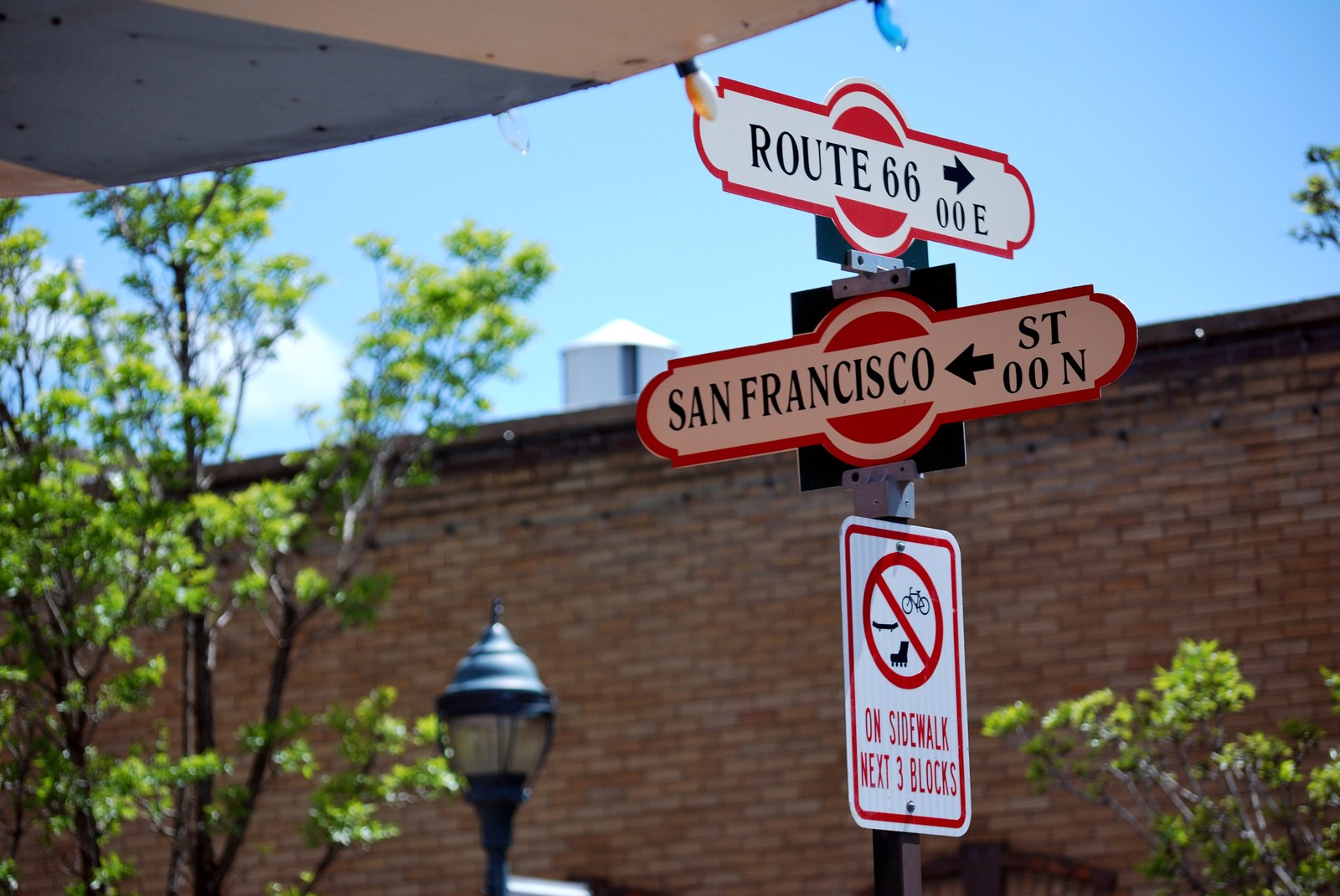
Williams & Route 66

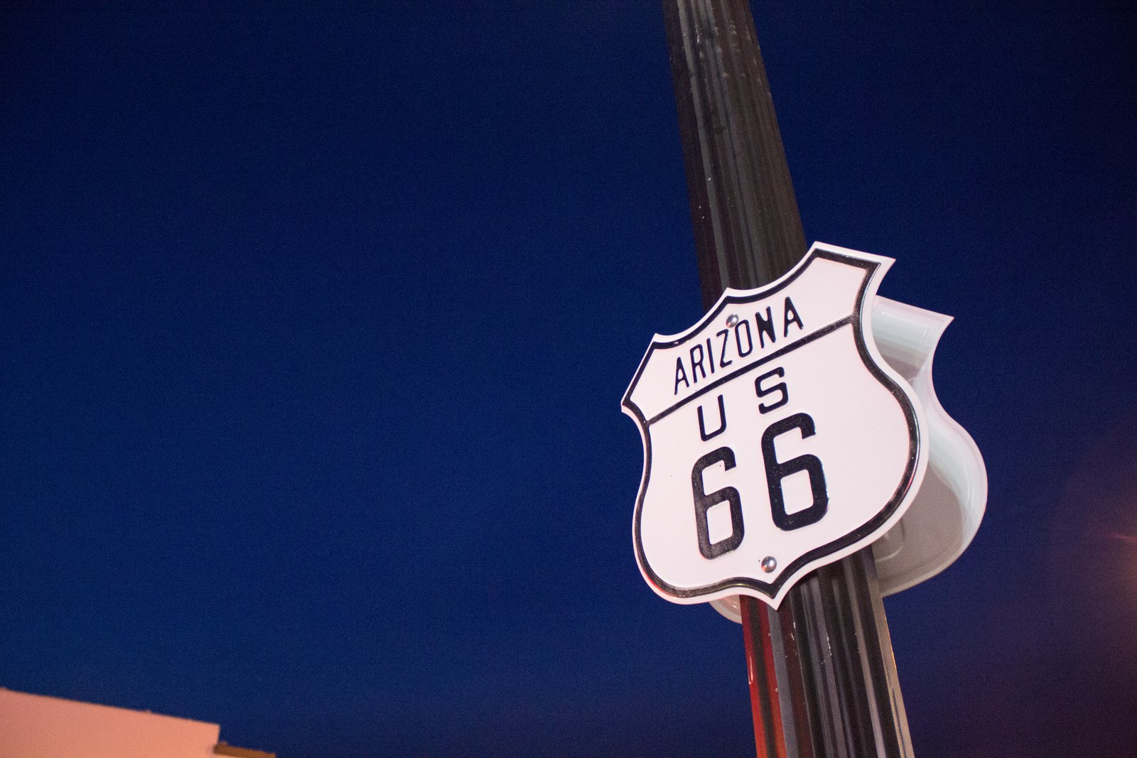
Dinner on Route 66, groceries in town and a train ride to the canyon.

~32 min
Within an hour

Bill Williams Mountain

Trade the mesa for a cool summer hike through pine, aspen and fir.

~36 min
Within an hour

Red Butte Trail

Climb the butte on the northern skyline for a big plateau panorama.

~49 min
Within an hour

Dogtown Lake

Pine-lined shore walks and May–October camping.

~51 min
Within an hour

Sycamore Canyon

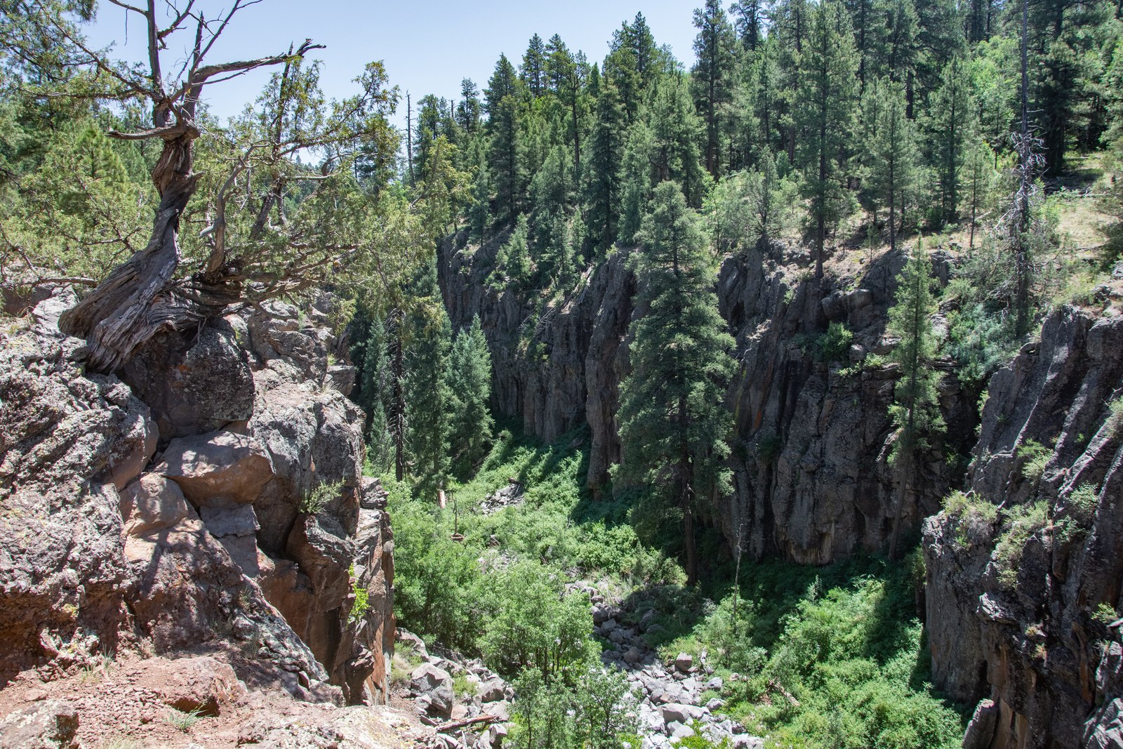
Spend a day on canyon-rim trails above Sycamore's rugged rock walls.

~59 min
Within an hour

Flagstaff

Head into the high-country city for downtown dining, shopping and a night out.

~1 hr
Worth the drive

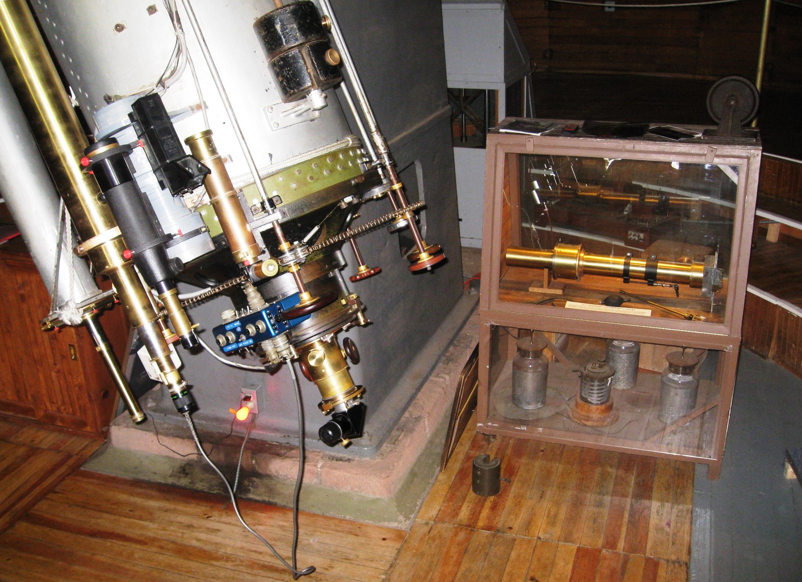
Lowell Observatory

Turn a night out into telescope time at the home of Pluto's discovery.

~1 hr 18 min
Worth the drive

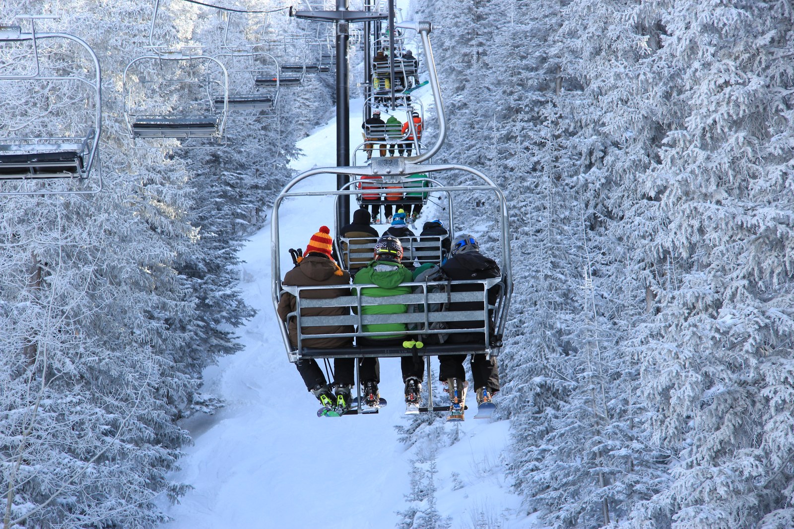
Arizona Snowbowl

Ski days in winter and scenic gondola rides in season.

Photo credits

Grand Canyon South Rim: “Grand Canyon National Park: Sunset from Yaki Point 5207” — Michael Quinn / National Park Service, Public domain. Resized; card display may crop. Williams & Route 66: “Route 66, Williams” — Scottb211, CC BY 2.0. Resized; card display may crop. Bearizona: “American black bear at Bearizona Wildlife Park” — Christopher Amrich, CC BY-SA 2.0. Resized; card display may crop. Valle & Raptor Ranch: “Williams – Bedrock City – Yabba-Dabba-Doo Welcome Sign” — Jared (Flickr: jared422), CC BY 2.0. Resized; card display may crop. Flagstaff: “Downtown Flagstaff” — Christopher Amrich, CC BY-SA 2.0. Resized; card display may crop. Red Butte Trail: “Red Butte” — APK, CC BY-SA 4.0. Resized; card display may crop. Bill Williams Mountain: “City of Williams & Bill Williams Mountain 2017” — Dyan Bone / U.S. Forest Service, Southwestern Region, Kaibab National Forest, CC BY-SA 2.0. Resized; card display may crop. Kaibab Lake: “Kaibab Lake & Campground 2018” — Dyan Bone / U.S. Forest Service, Southwestern Region, Kaibab National Forest, CC BY-SA 2.0. Resized; card display may crop. Dogtown Lake: “Dogtown Lake, Williams Ranger District” — U.S. Forest Service, Southwestern Region, Kaibab National Forest, Public domain. Resized; card display may crop. Sycamore Canyon: “Sycamore Canyon – Sycamore Falls” — Adriana Petrungaro / Kaibab National Forest, Public domain. Resized; card display may crop. Lowell Observatory: “Clark Telescope, Lowell Observatory” — brewbooks, CC BY-SA 2.0. Resized; card display may crop. Arizona Snowbowl: “AZ Snowbowl – Winter (5)” — Southwestern Region, USDA Forest Service, Public domain. Resized; card display may crop.

The basics

Everything at a glance

Yes, you can

  • Build your homeSite-built up to two stories, modular, or a manufactured home 5 years old or newer
  • Put up a barn or shop firstBefore the house, if you like
  • Keep horses and cattleOnce the land is fenced to the covenant standard
  • Bring the RVUp to 3 months a year with a county permit, or while you build
  • Live off-gridStrong sun for solar, water hauled to a cistern
  • Stay connectedStarlink, plus 5G reported outdoors

All of it under Coconino County's G General zoning and the recorded covenants, with no architectural committee.

By the numbers

40 acres
About 20 of them gently sloping mesa top
6,500 ft
On top, 200–300 ft above the country around
30 min
To Williams; the Grand Canyon in about an hour
3 parcels
Room to split later: keep one, sell or share the rest
$381 a year
Property taxes, about
$576 a year
Association dues, mostly for the roads
What you can do here

Make it yours

The county zones it General, for a rural way of life, and the recorded covenants are light, with no architectural committee. Here's what that means on the ground.

The terrace just north of the upper road, our favorite homesite

Build facing the Peaks

Site-built up to two stories, modular, or a manufactured home no more than 5 years old. No minimum size and no architectural committee. Put up a barn or shop first and build the house when you're ready.

The road crossing the mesa-top bench through open woodland

Spend a summer up here

Bring the RV for up to 3 months a year with a county permit, or for as long as you're building once you hold a building permit. A good way to learn the land before you build.

The gently sloping mesa top inside the boundary

Room to grow, or to share

Horses and cattle are welcome once the land is fenced to the covenant standard. And because the covenants allow dividing these 40 acres into as many as three parcels of 12 acres or more, you could keep the piece you love and later sell or share the rest, bringing down what the land costs you.

Light covenants. Build back from the lot lines, keep it tidy, and follow the RV permit path. Association dues are $576 a year, and most of it goes to the roads.
Getting there

The drive in

From I-40 at Williams it's about 17 miles north on AZ-64, the highway to the Grand Canyon. Turn in at the stone Howard Mesa Ranch gate and follow 2.7 miles of graded gravel and red cinder that the property owners maintain. The road runs along about 2,300 feet of the boundary on two sides and crosses the land. The last stretch is your own road, up onto the mesa top.

This land40 acresAZ-64Grand Canyon ↑Williams ↓Howard Mesa LoopGraded gravel and cinder1234567N½ mile
AZ-64, pavedGraded gravel and cinderThis land
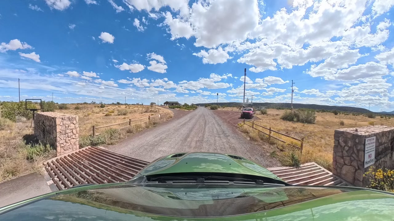
  1. Stone pillars, cattle guard and mailboxes at the Howard Mesa Ranch entrance
    1Turn in at the stone gate

    About 17 miles north of I-40 on AZ-64 (or 10.5 miles south of Valle), turn east at the Howard Mesa Ranch stone pillars, cattle guard and mailboxes.

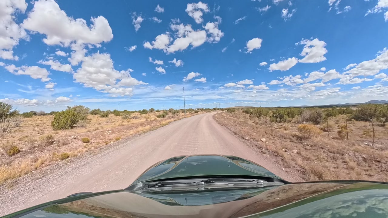
  2. Graded gravel road heading north
    2Left onto Howard Mesa Loop

    After about 0.1 mile, turn left (north) and follow the loop about 0.7 mile as it curves east.

  3. Open gravel road heading east
    3Stay on the loop

    Turn left (east) to stay on Howard Mesa Loop, and continue about half a mile.

  4. Gravel road through juniper country
    4Bear right on Mesa View Road

    Bear right (southeast) and continue about 0.4 mile as the road rises gently toward the mesa.

  5. The road rising beside the land
    5Your land begins

    Continue onto S High Mesa Trail. The land starts on your right, at Plus Code GV23+WX: about 2.7 miles and 7 minutes from the highway.

  6. Your own road climbing onto the mesa
    6The climb onto the mesa

    Your own road runs along the east side and up onto the mesa top. A regular car handles this fine in dry weather. Plan on AWD after rain or snow.

  7. Mesa-top country after the climb
    7On top of the mesa

    The road levels out across the mesa top, at Plus Code GV22+G9. The terrace just north of the road is our favorite homesite, facing the Peaks.

Navigate here
GV23+WX Williams, AZ
Where the land starts, at the bottom of the climb · mesa top GV22+G9 · 10754 S High Mesa Trl
Owner financing

Pay over time

Bedrock finances this land directly, no bank needed. Start with a monthly budget, then choose your down payment and how long you'd like to pay. Or pay cash.

  • Start with as little as 10% down. A larger down payment lowers every monthly payment.
  • A shorter plan costs less overall, and the land is paid off sooner.
  • Talk a plan over with David to receive the full payment schedule and agreement.
Step 1 of 2

What monthly payment works for you?

$

Next, you'll choose your down payment and how long to pay.

Utilities

Off-grid, and good at it

Strong sun, water a short drive away, and a connection to the world. Here's how people live up here.

Power: go solar

There's no power line at the land, and plenty of sun: each kW of panels makes about 1,795 kWh a year. The neighbors run solar.

Water: haul to a cistern

Fill up at the permitted water station in Valle, 17 minutes away, and store it in a cistern.

Connected: 5G and Starlink

T-Mobile and AT&T report 5G here and Verizon LTE, outdoors. Starlink is available too.

A year on the land

A typical year on this land
Daytime highsNight lowsPhoenix highsRain and snow
Phoenix 107°47°22°87°55°JFMAMJJASOND

Summer days run about 20° cooler than Phoenix, and July nights cool to about 55° while Phoenix stays near 85°.

Questions

Good questions, straight answers

Where would I build?

There's more than one good homesite. Our favorite is the terrace just north of the upper road, on the gently sloping mesa top, facing the Peaks, and about 20 acres of easy ground up top gives you plenty of other choices. That room is a real advantage: the covenants allow dividing these 40 acres into as many as three parcels of 12 acres or more, so you could build on one and later sell the others, or share them with family or friends.

Can a regular car make the drive?

Yes. A regular car handles this fine in dry weather. The 2.7 miles from the highway are graded gravel and red cinder that the association maintains, and the last stretch is the land's own road up onto the mesa. Plan on AWD after rain or snow.

What are winters like?

Real high-country winters: January days around 47°F, nights around 22°F, and snow. The roads in are private and maintained by the association rather than the county, so plan on 4WD or AWD after a storm, especially for the climb onto the mesa.

Can I stay in an RV?

Yes, on the permit path: up to 3 consecutive months a year with a county permit, and for as long as you're building once you hold a building permit.

Can I put a manufactured home on it?

Yes, if it's no more than 5 years old when it's installed, skirted, with the county septic finished first. Site-built homes up to two stories and modular homes work too. There's no minimum size and no architectural committee.

Could I split it later?

That's one of the quiet strengths of 40 acres here. The covenants allow dividing this land into up to three parcels of at least 12 acres each. Buy the whole mesa, take your pick of the part you want to keep, and down the road sell or share the rest with family or a friend to bring down your own cost. Would you rather start with less land, or buy with a partner? Tell David; we're open to that too.

How do power and water work?

Off-grid. There's no power line at the land, but the sun is strong: each kW of solar panels makes about 1,795 kWh a year, and the neighbors run solar. For water, haul it to a cistern; the permitted water station in Valle is 17 minutes away. Starlink is available, and T-Mobile and AT&T report 5G outdoors.

How does septic work out here?

It starts with a county site investigation. The soil on the mesa is shallow over rock, so expect an alternative system rather than a standard trench.

Is there an association?

Yes, the Howard Mesa Ranch Phase 3 Property Owners Association. Dues are $576 a year, and most of it goes to grading and maintaining the roads: about $54,600 went to them in 2025.

What are the property taxes?

About $381 a year. That's for the whole year.

Will I see cattle?

You might. A ranch company holds grazing rights across the subdivision until an owner fences livestock out. Fence your land to the covenant standard and grazing stops on the fenced ground.

Can I hunt nearby?

You're in Arizona Game and Fish Unit 7 West, which AZGFD says has a healthy elk population, along with pronghorn, mule deer, Merriam's turkey and black bear. Elk and pronghorn tags are by draw; bear, archery deer and archery turkey tags can be bought over the counter. Kaibab National Forest is 1.3 miles east, and Arizona State Trust land a few hundred feet south is open to licensed hunters. State law limits shooting near occupied homes and the covenants limit gunfire, so plan your hunts there.

How do I find it?

Tap GV23+WX Williams, AZ to open where the land starts, at the bottom of the climb. The mesa top is GV22+G9, and the street address is 10754 S High Mesa Trl, Williams, AZ 86046. From I-40 at Williams, take AZ-64 north about 17 miles and turn east at the stone Howard Mesa Ranch gate.

How does owner financing work?

Bedrock finances the land directly, no bank needed. Put down as little as 10% and pick a plan in the explorer above; a shorter plan costs less overall. You'll get the full written schedule and agreement before you sign.

How do I buy it?

Call or text David at (737) 353-1661. Tell him whether you're paying cash or which plan caught your eye, and he'll walk you through the paperwork and closing.
Come stand on the mesa and look east

Cash, or owner financing with as little as 10% down. David answers every call and text about this land.

Bedrock Land Group · bedrocklg.com40 acres on Howard Mesa · Coconino County, Arizona